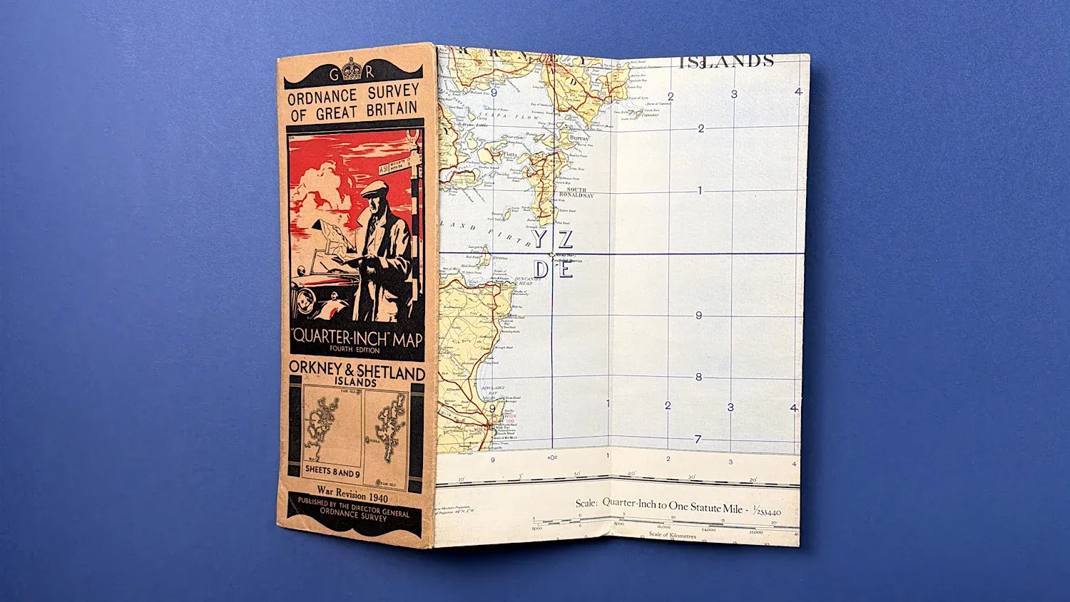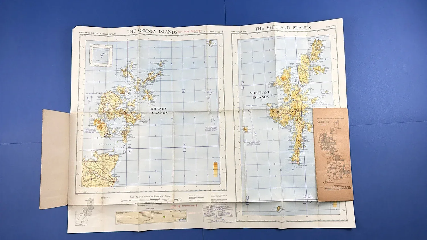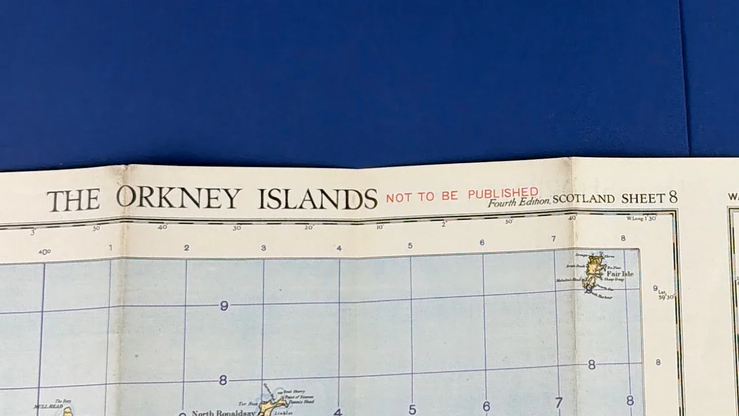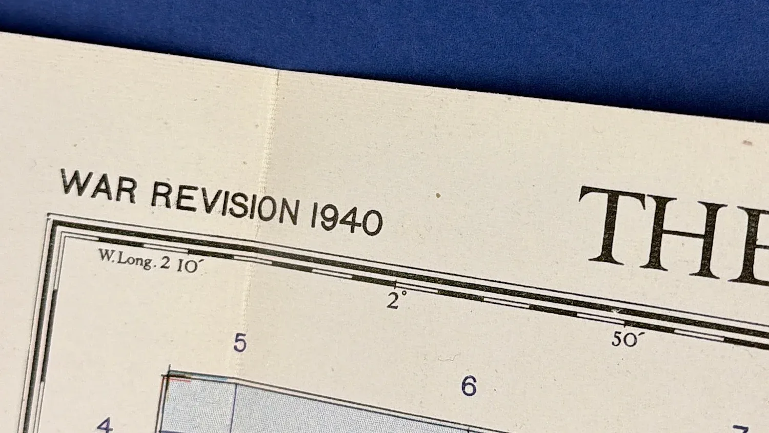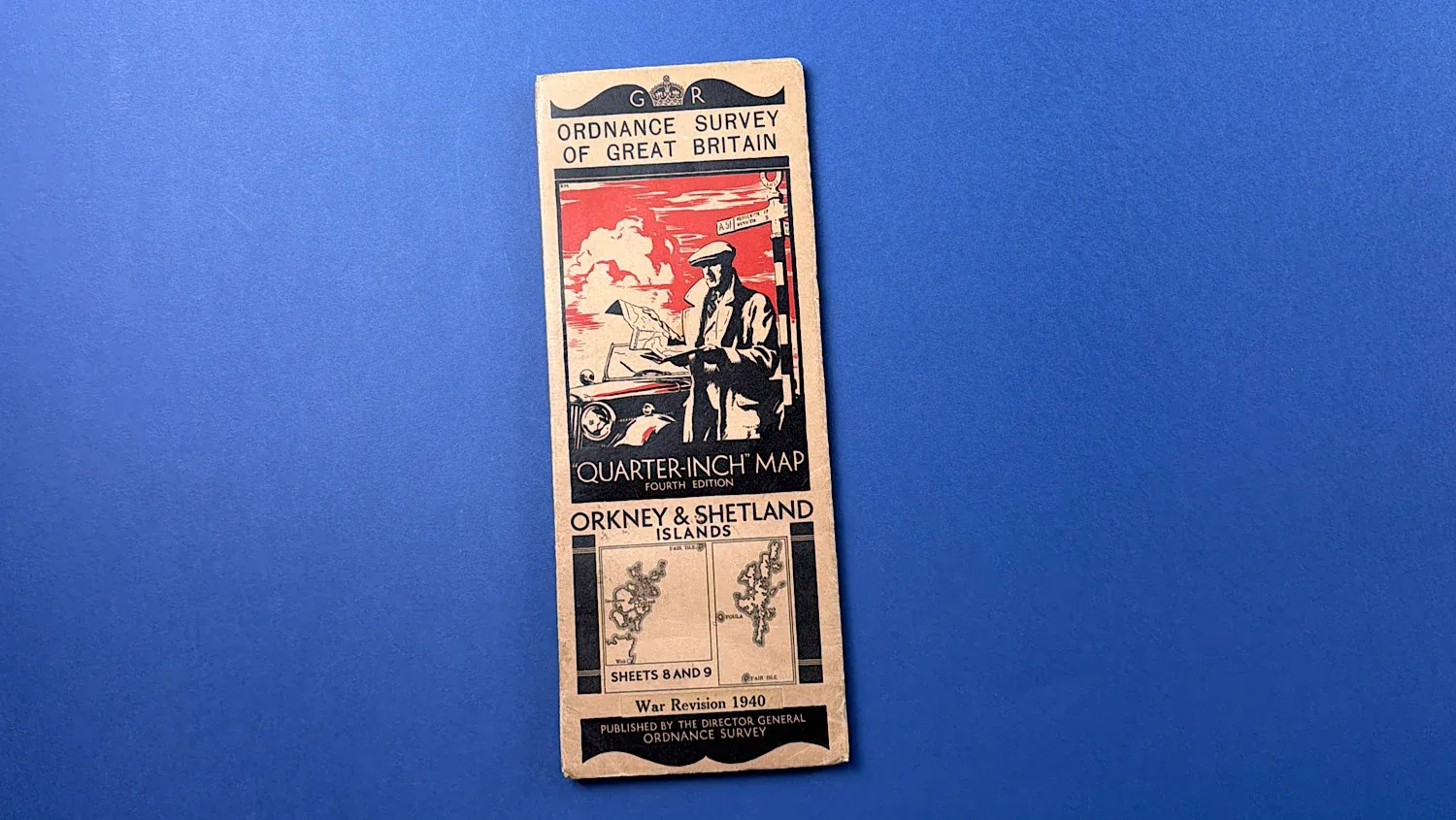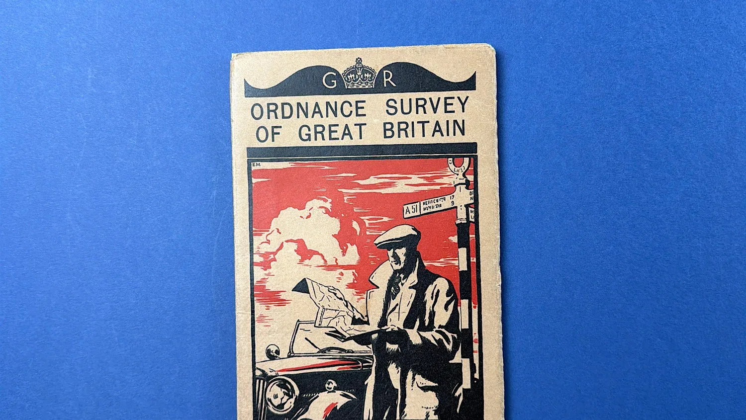
WW2 Home Front Ordnance Survey Quarter-Inch Map, Orkney & Shetland Islands – War Revision 1940
SKU:
Added by : Andrew Robinson
Description
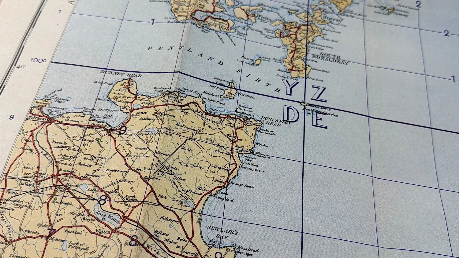
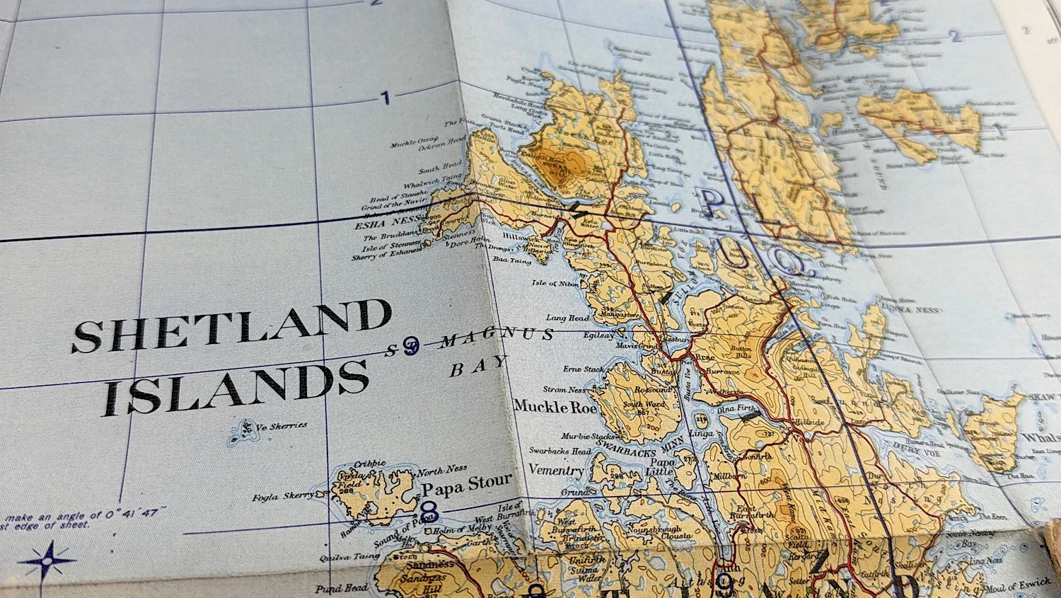
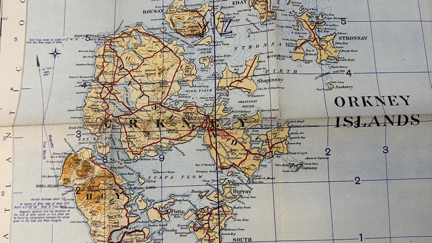
This original WW2 Ordnance Survey quarter-inch map covers Orkney & Shetland Islands in Scotland and is a War Revision edition dated 1940. Produced during the early stages of the Second World War, maps of this type were widely used across Britain for Home Front planning, civil defence, and military orientation.
Quarter-inch Ordnance Survey maps provided a wide-area overview of key towns, transport routes, industrial centres, and coastal regions, making them particularly useful to Home Guard units, ARP services, and other Home Front organisations. Covering a strategically important industrial and shipbuilding area, this map represents an authentic piece of British wartime mapping and Home Front ephemera.
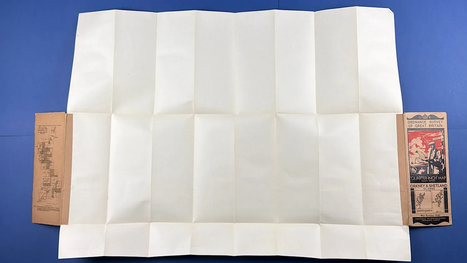
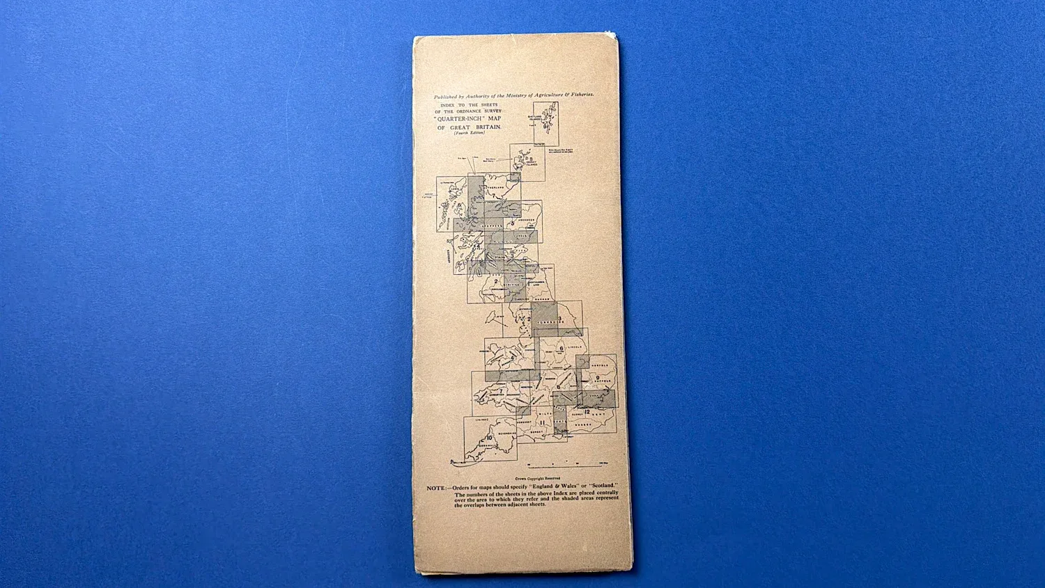
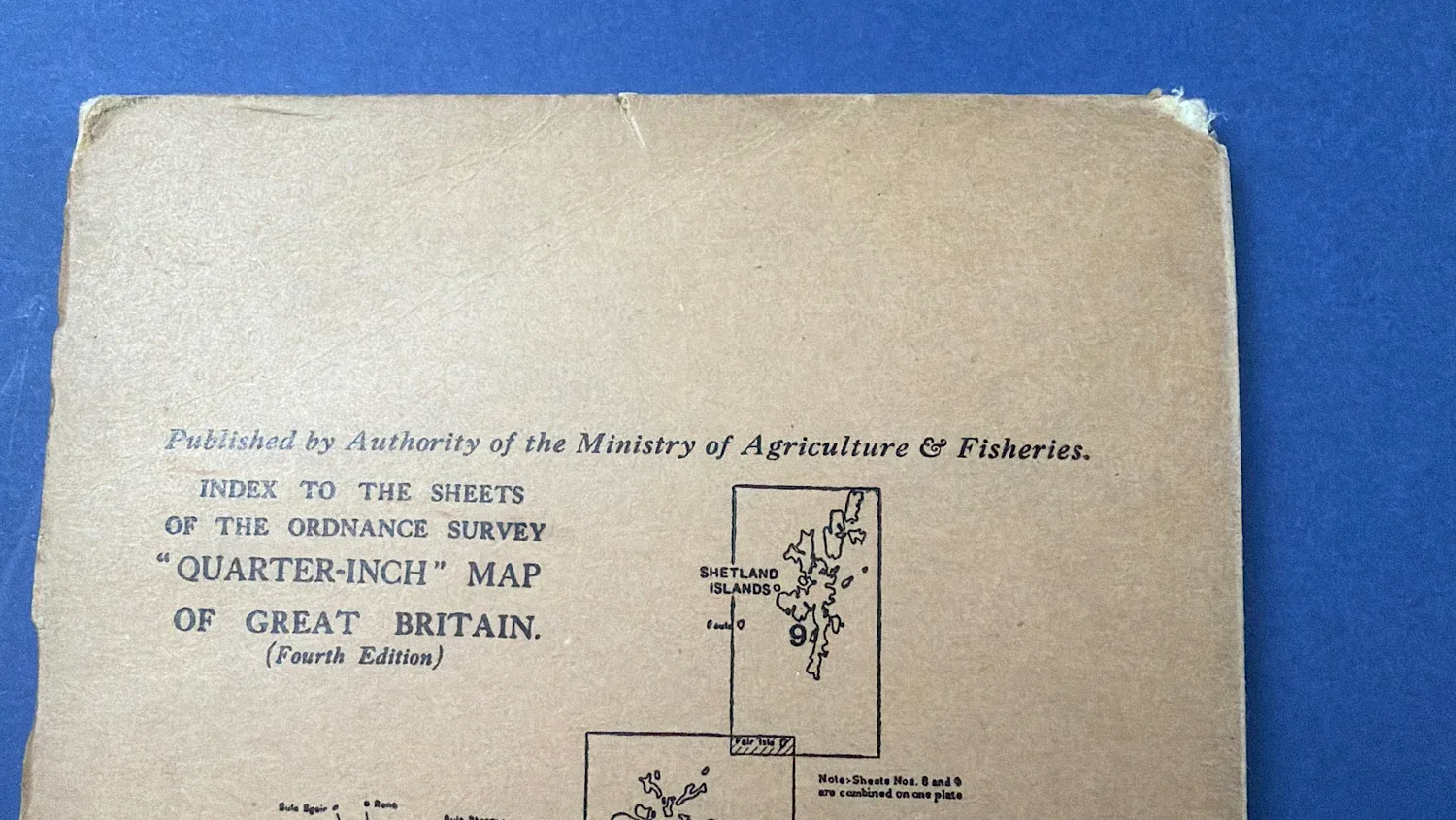
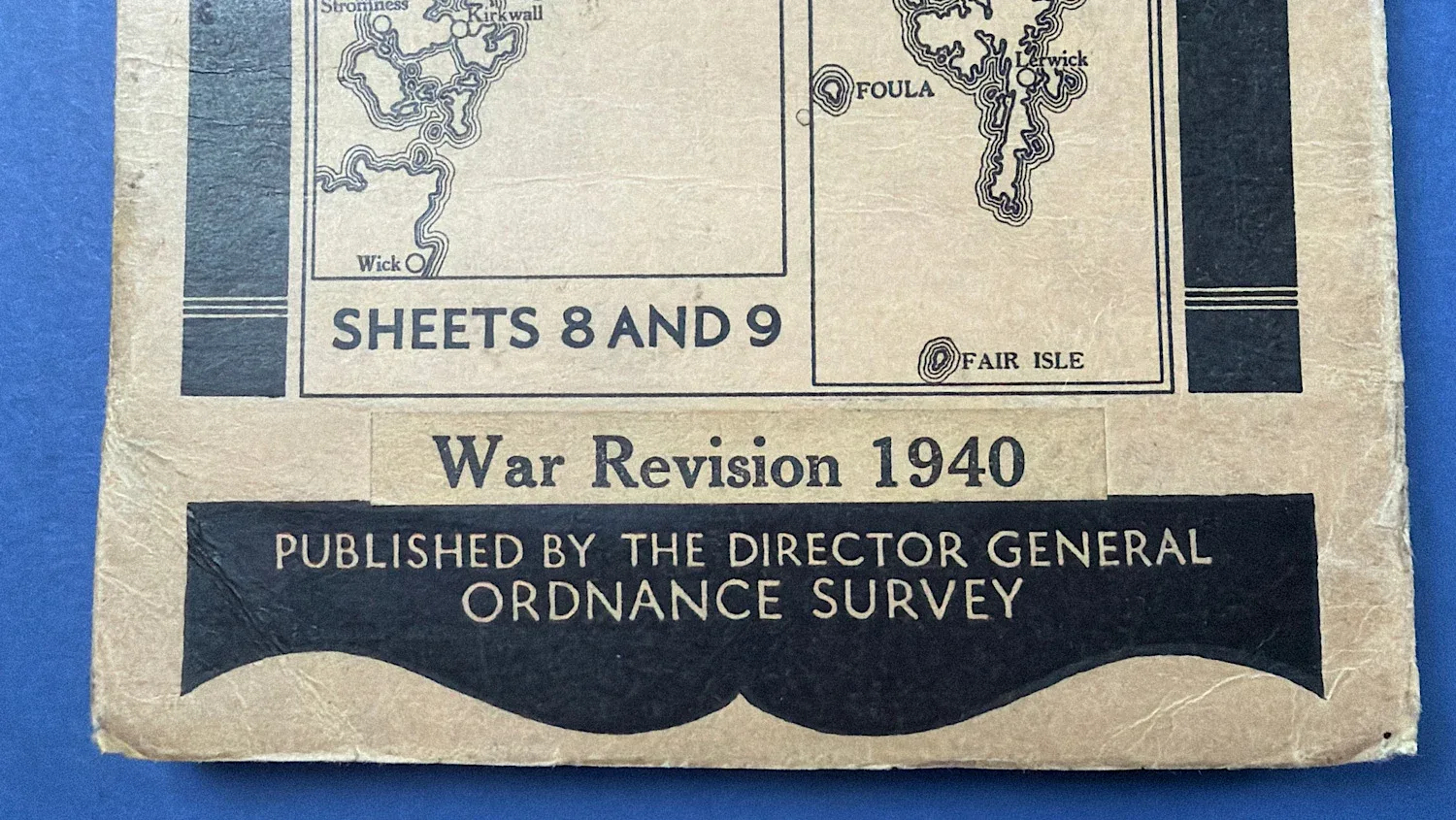
The cover of this map is in overall, very good condition, especially the corners. The actual map itself is also in a matching condition, with minor wear, and no holes in the paper where it’s been folded through the years with the exception of one small one (see photos)
It’s around 33×36 inches in size.
£18.00
SOLD