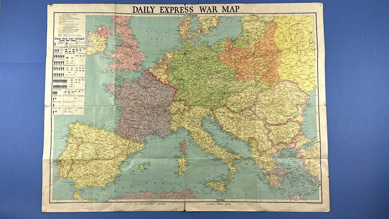
WW2 Daily Express War Map of Europe
SKU:
Added by : Andrew Robinson
Description
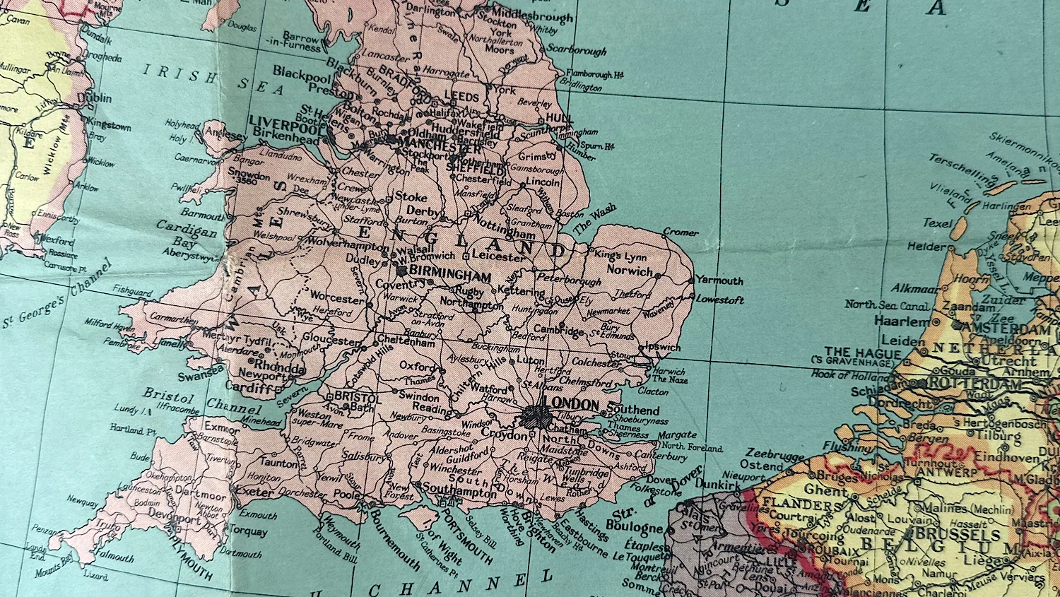
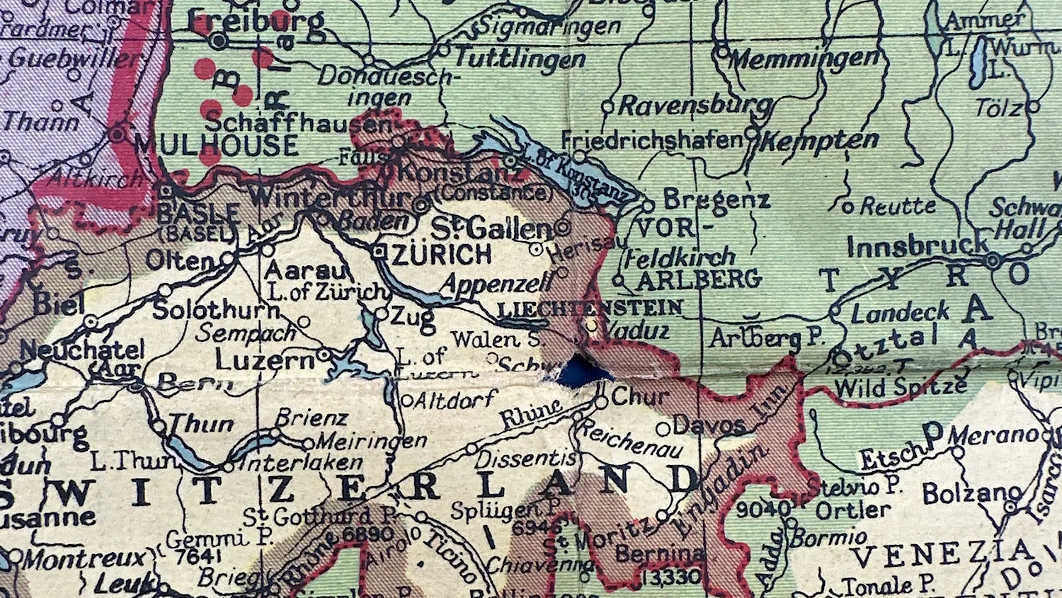
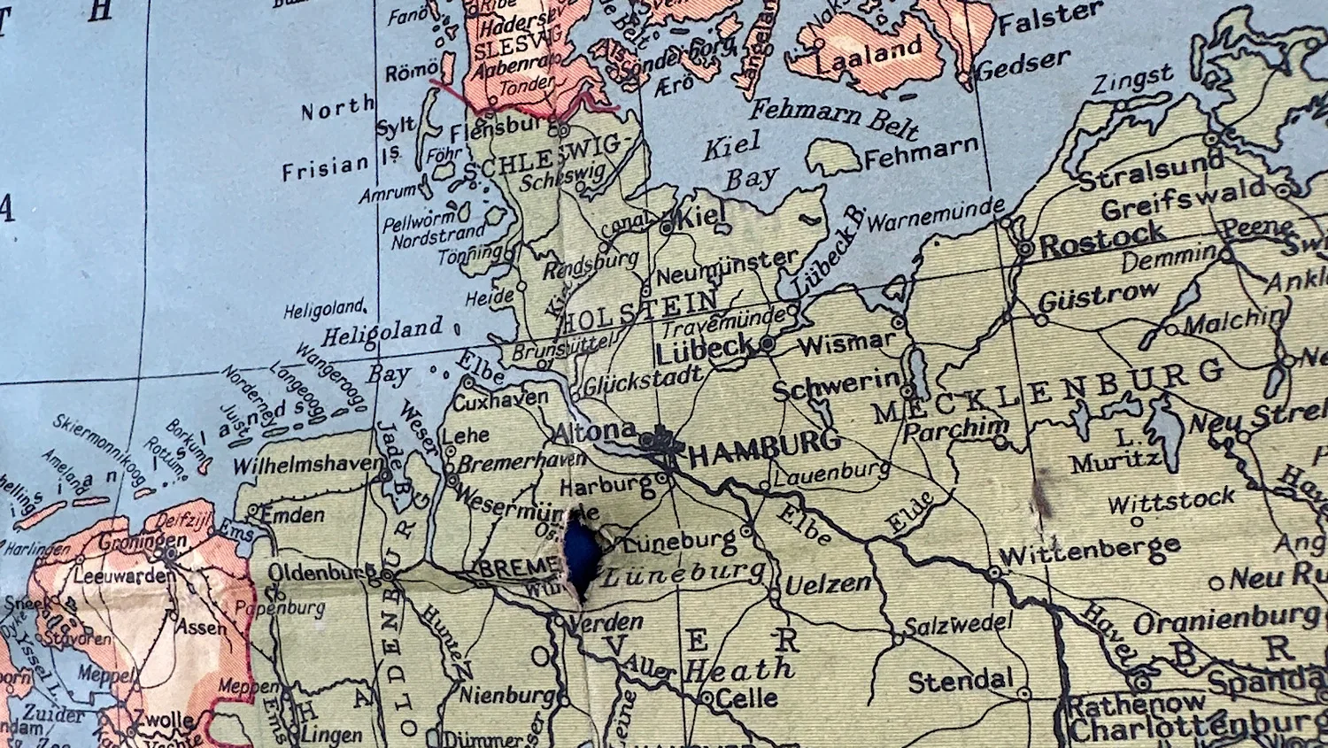
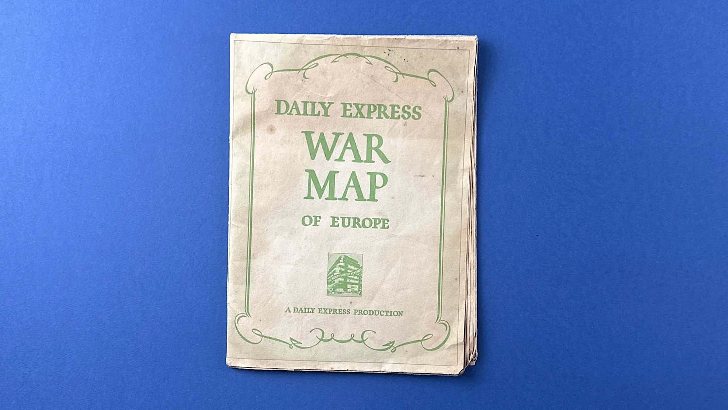
This war map of Europe, published by the Daily Express newspaper during WW2, is one of a number of maps published by this famous British newspaper. The idea was so readers could track the war at home, and some maps came with flags or stickers the reader could place on it to help them.
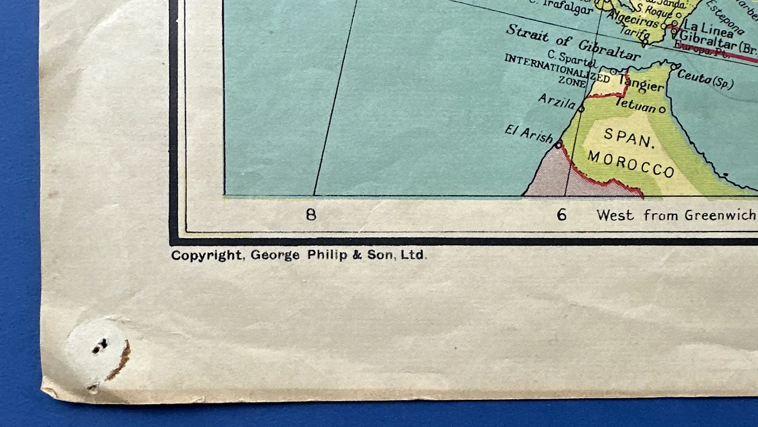
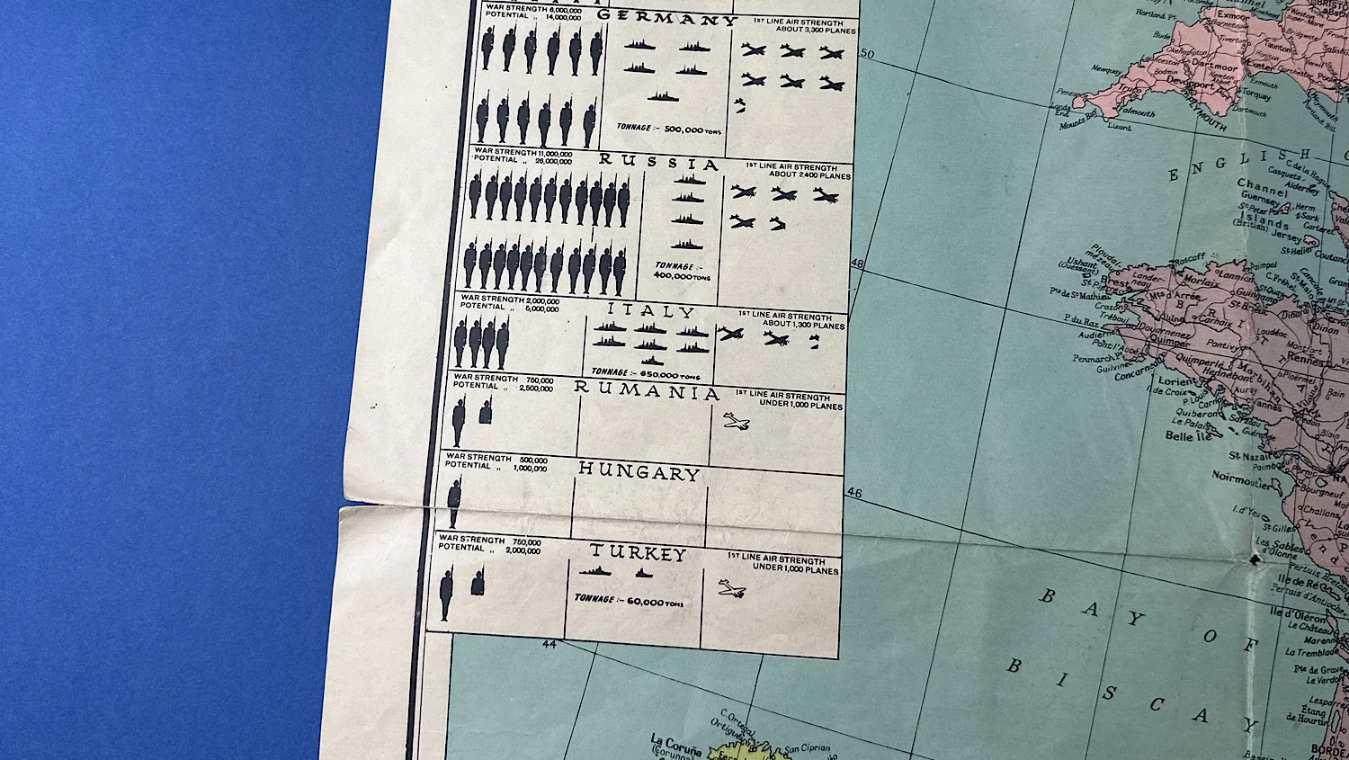
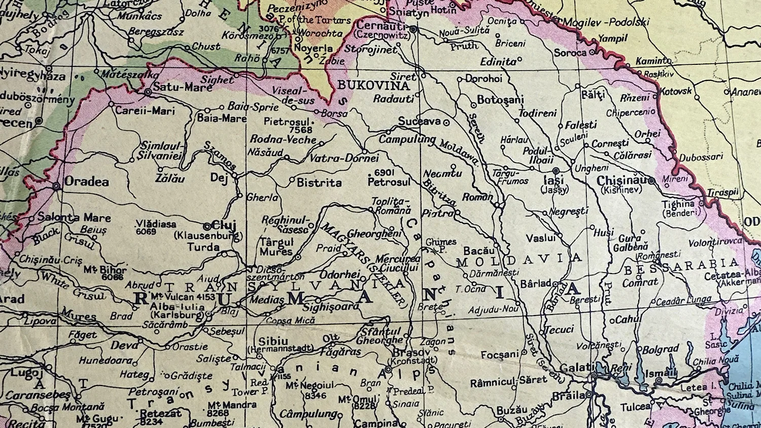
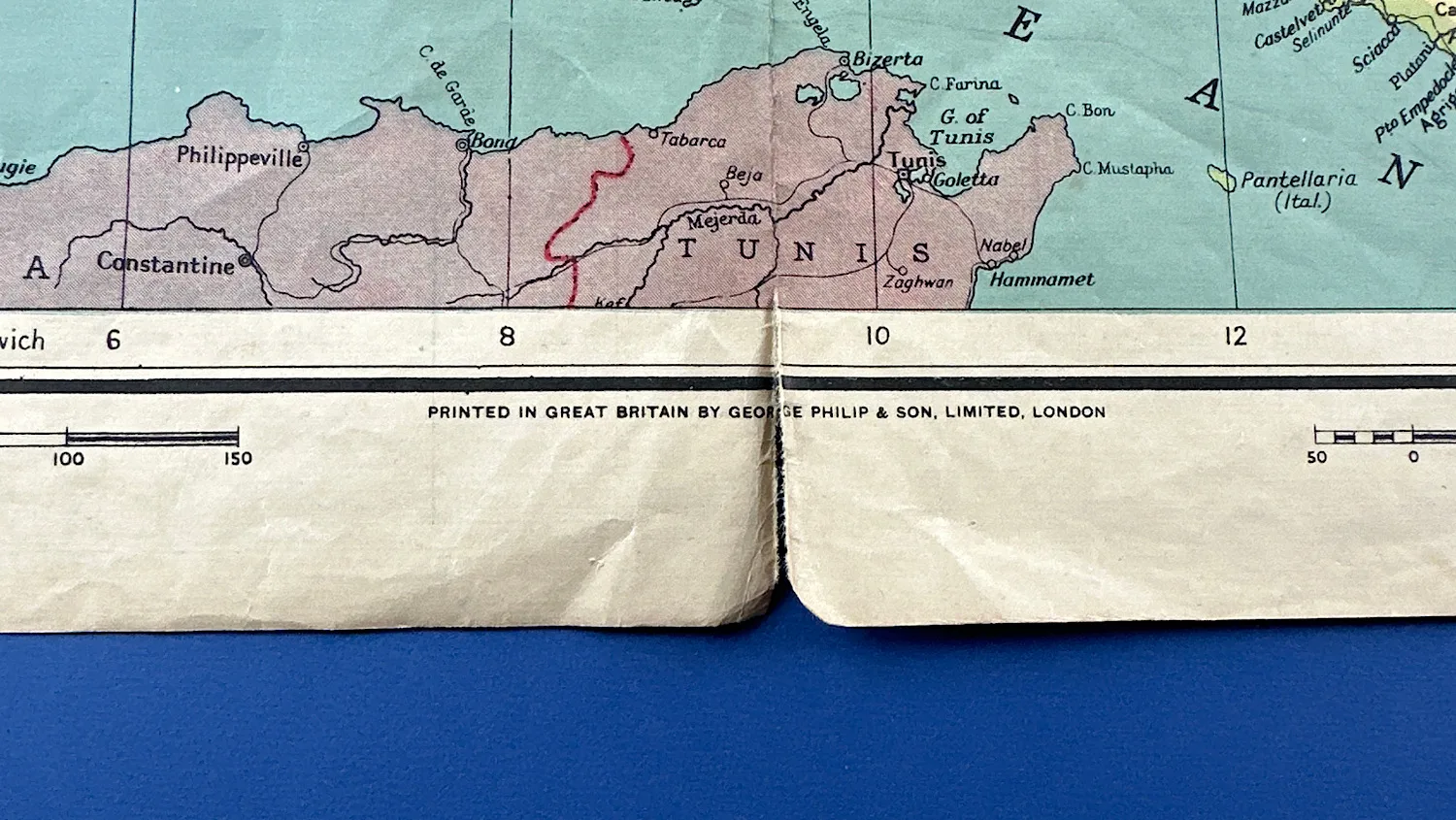
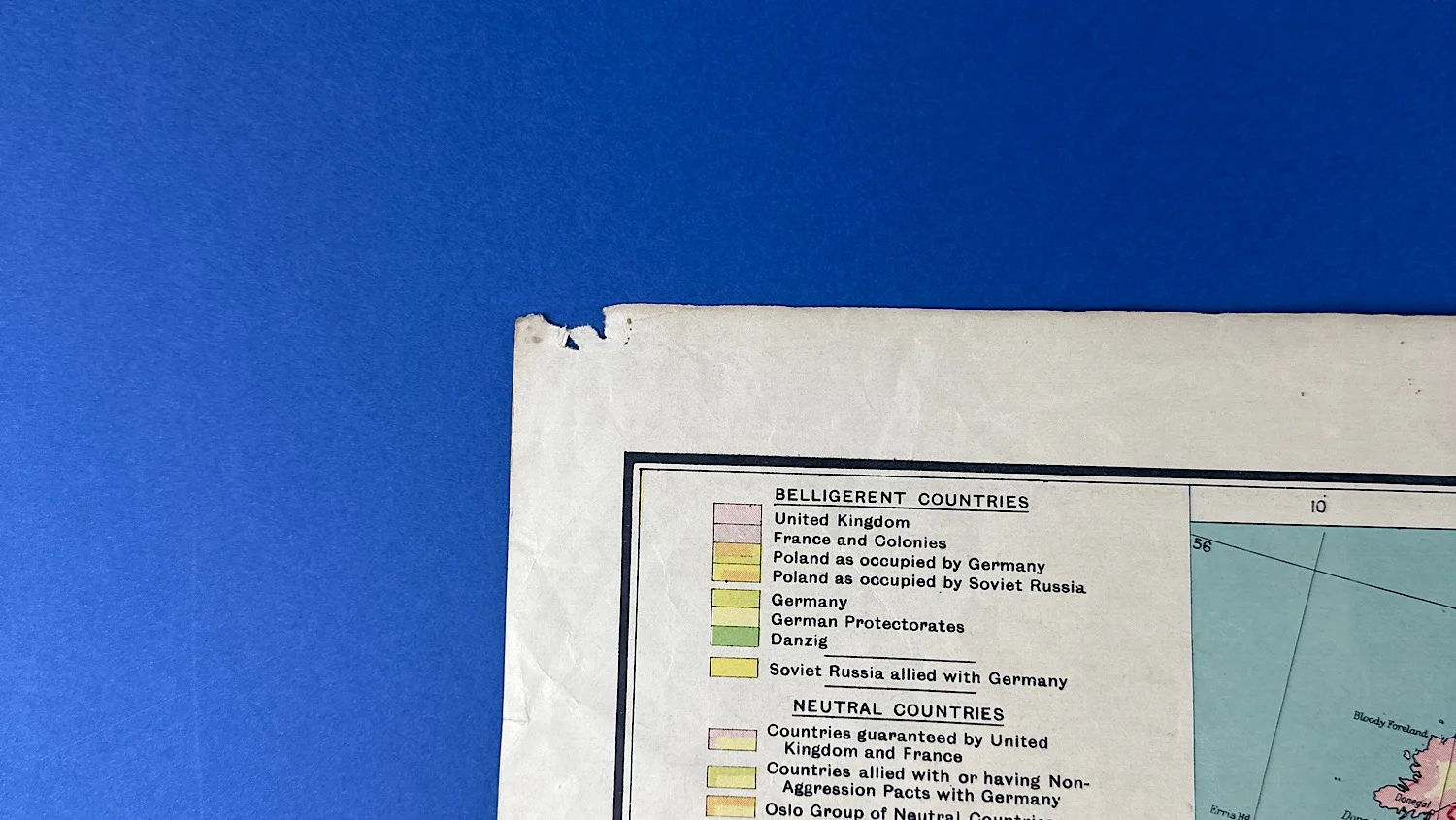
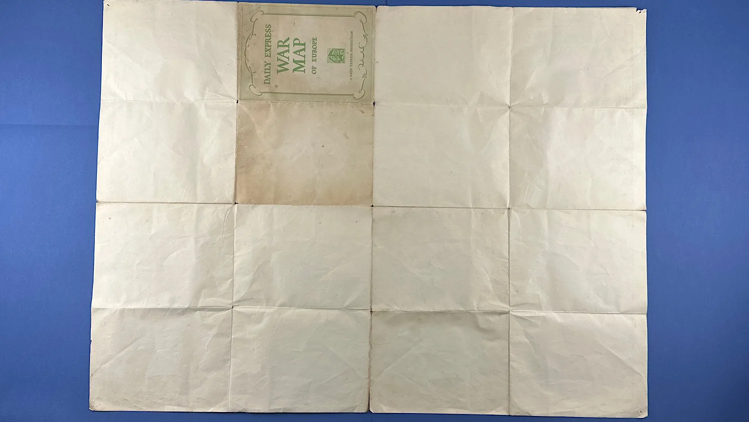
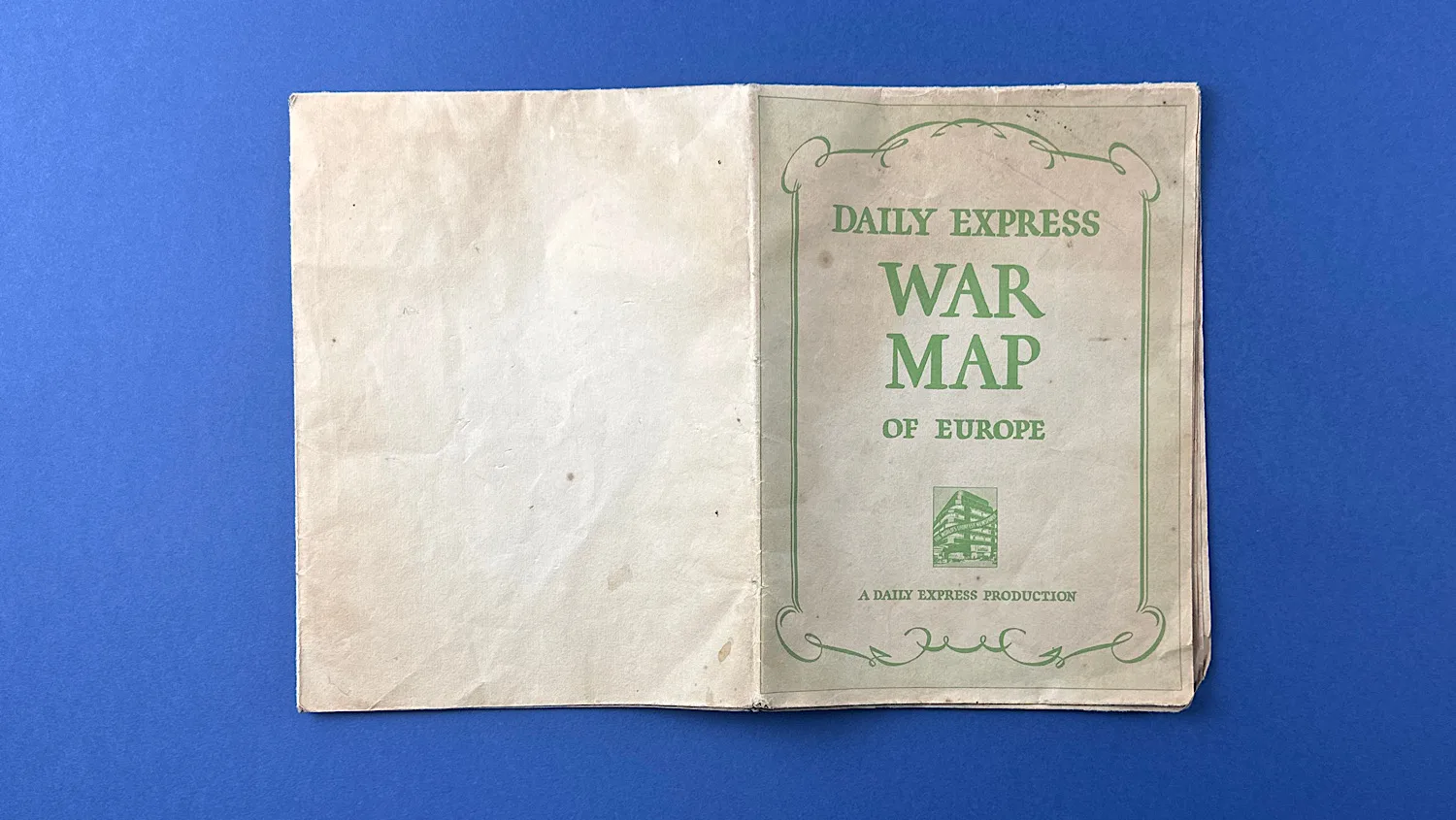
Pre 1939 editions showed Austria as independent, and research shows Poland being partitioned dates this map as post September 1939. Overall, it’s in good condition, though some of the edges have very minor tears. Corners have worn through slightly and at some point, it has been pinned to a wall as you can see by the holes in the corners. The colours however, are still very vibrant and interestingly… The spelling “Rumania” (instead of “Romania”) was commonly used in English-language newspapers and maps before, and during, the early part of WWII. By the late 1940s, “Romania” became more standard. As you can see, this map has the former spelling, which also allows us to date it. The back is totally bare. Marked in the bottom left hand corner is “Copyright. George Philip & Son. Ltd, and in the bottom right corner; “The London Geographical Institute”.
It’s a lovely, collectable piece in good condition and would make a fantastic backdrop to any WW2 collection.
It measures, 29.5 inches or 75cm tall, and 39 inches or 1 meter wide.
£35.00


Additional information
| Weight | 0.2 kg |
|---|