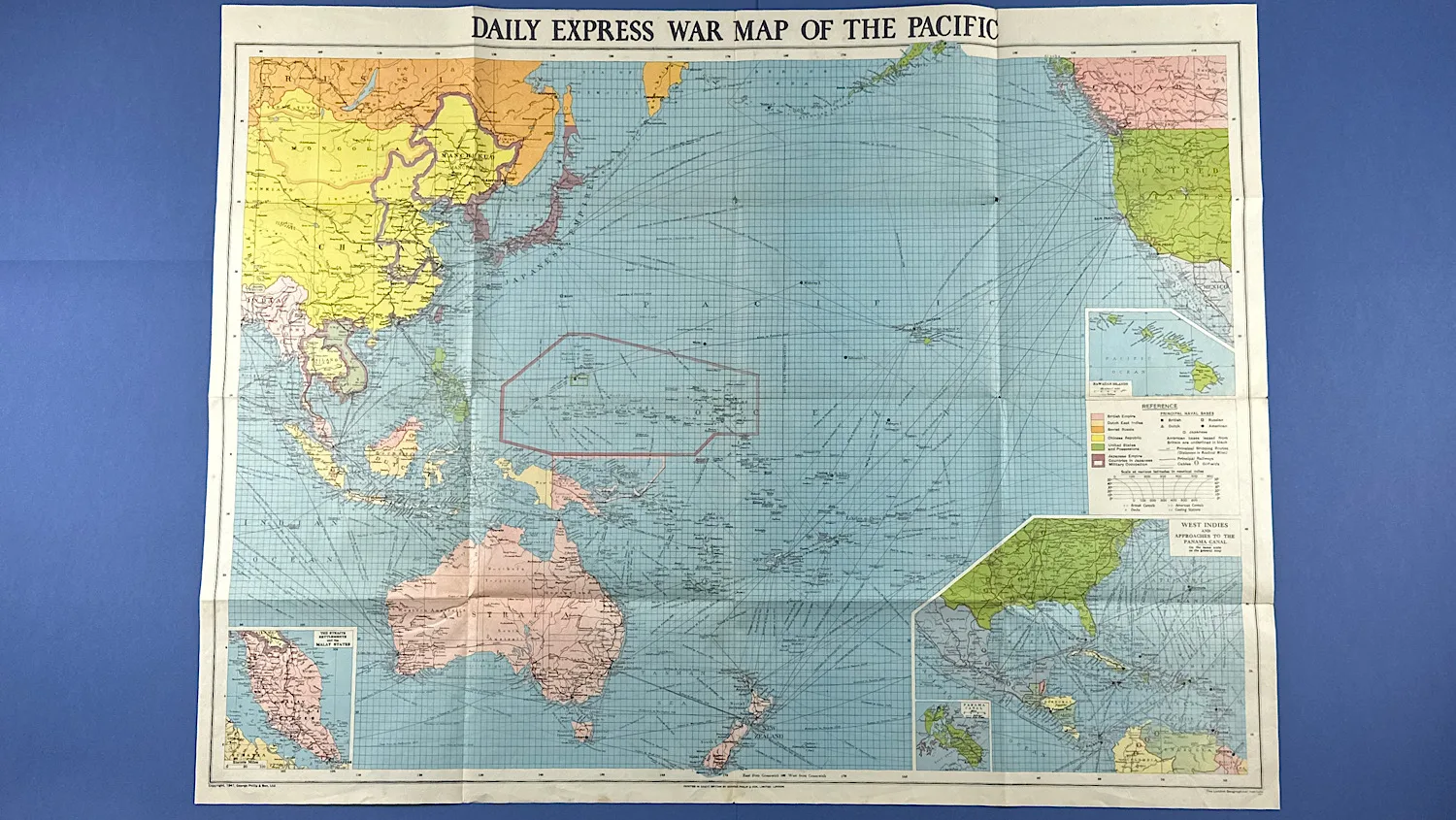
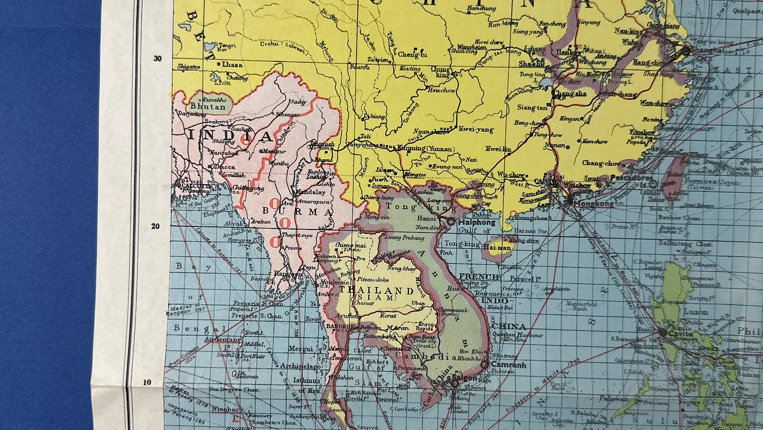
WW2 Daily Express War Map of The Pacific
SKU:
Added by : Andrew Robinson
Description
This War Map of the Pacific, published by the Daily Express during WW2, was one of several maps issued by the newspaper to help readers follow the conflict from home. Some editions even included flags or stickers so that families could mark the shifting fronts themselves.
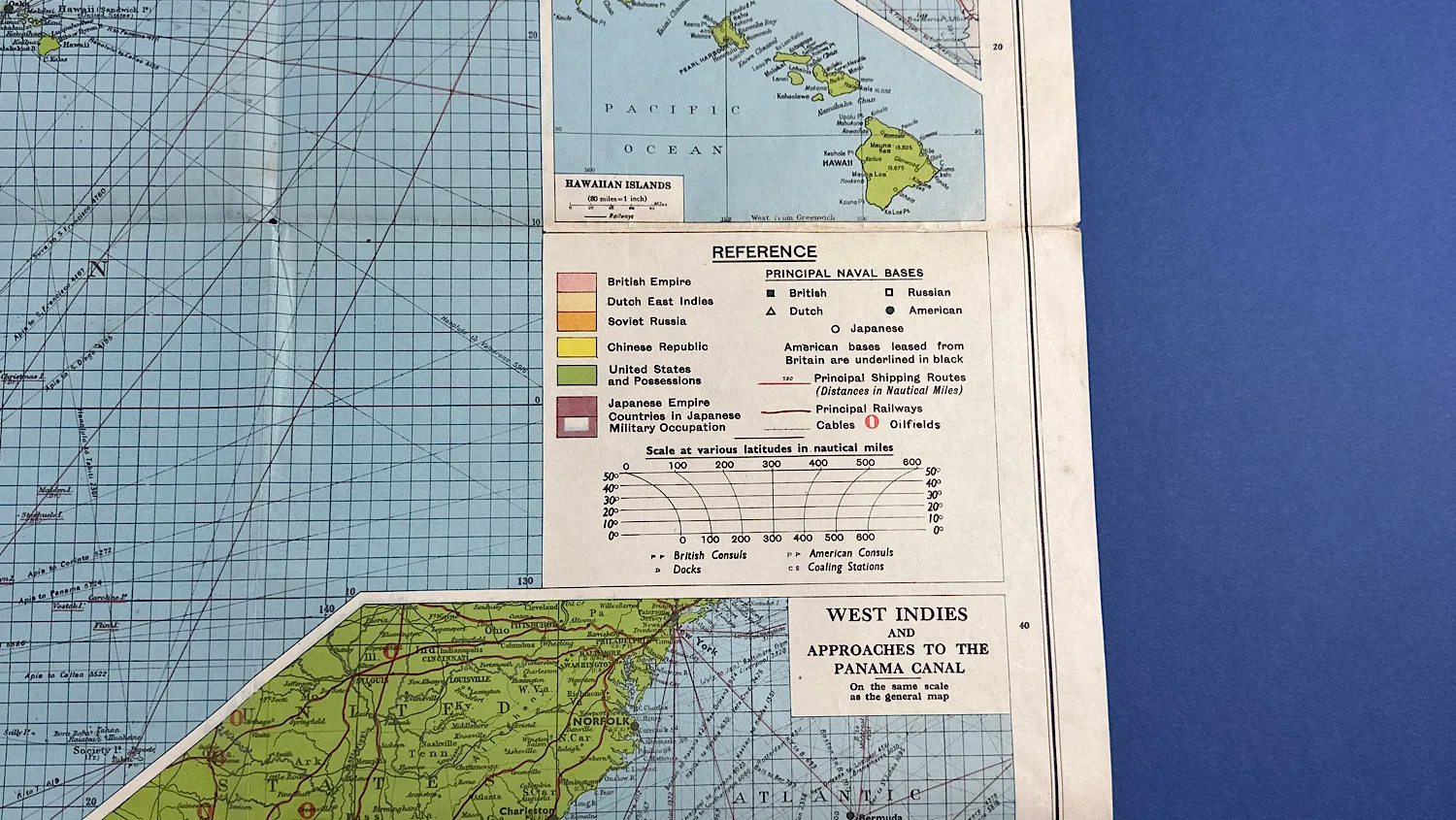
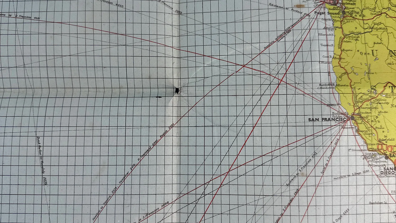
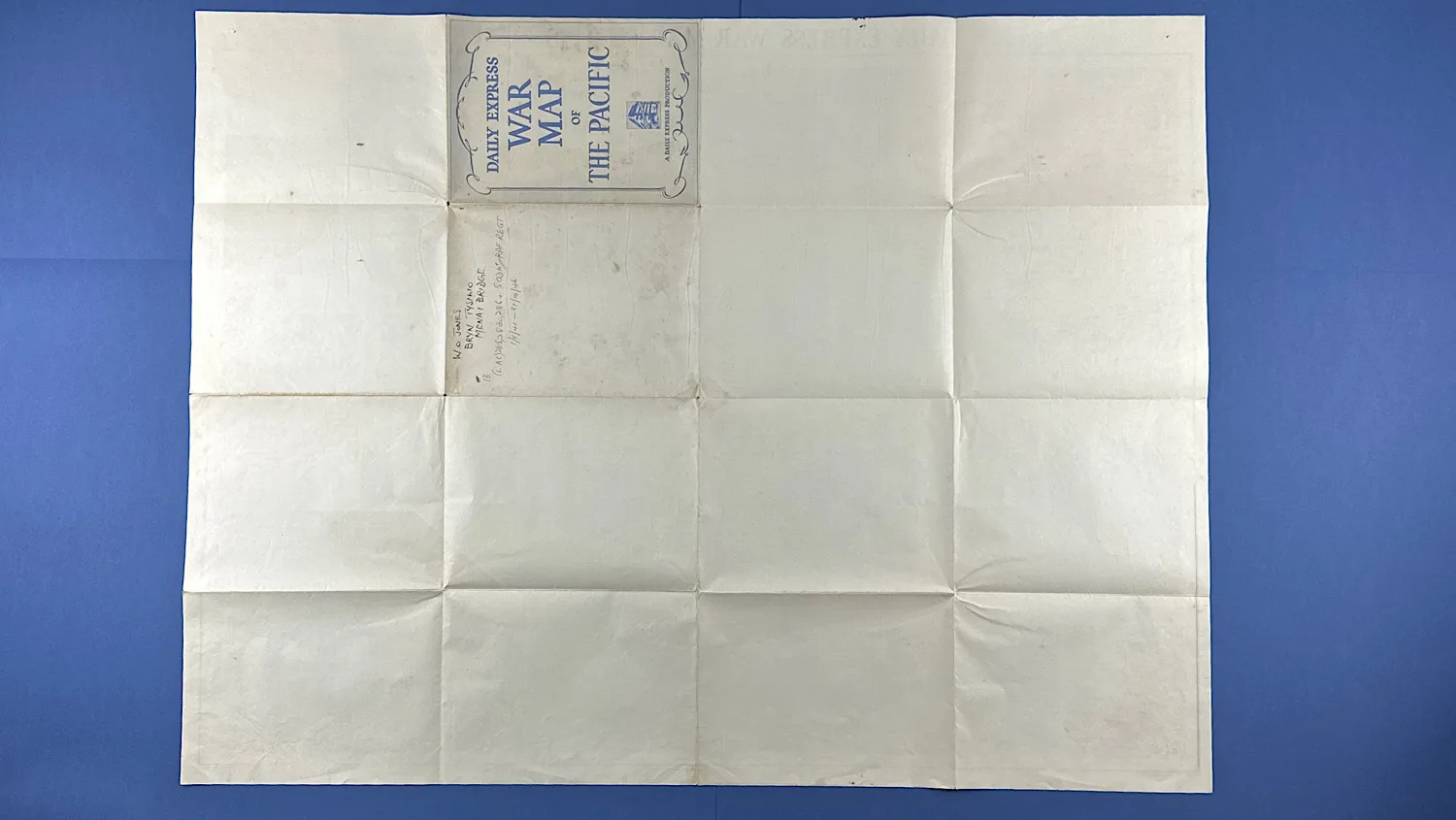
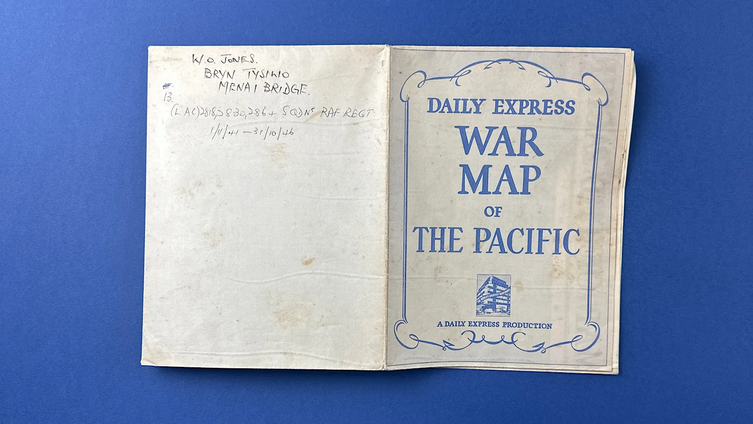
In the bottom left hand corner, “Copyright, 1941, George Philip & Son Ltd.” is printed, and in the bottom right; “The London Geographical Institute” has also been printed. This particular map has some hand written notes too (see photos). All the colours are vibrant, bright and beautiful, with the blue of the sea being really very striking. This tells us, it’s been folded up for much of it’s life and not pinned to a wall. Also, the fact no holes are in the corners support this.
Like other maps similar to this one, it would make a perfect backdrop to any collection, offering colour but also a genuine map, published in 1941 of The Pacific.
ALL corners are in excellent condition, none have been dog-eared and there are NO rips, tears or cuts whatsoever on any part of this map, giving it rarity in terms of condition alone. The only damage to this map comes in the form of a couple of holes from where it’s folded – an extremely common element and pretty much impossible to avoid, given it’s age and material.
It measures, 29.5 inches or 75cm tall, and 39 inches or 1 meter wide.
£40.00


Additional information
| Weight | 0.2 kg |
|---|