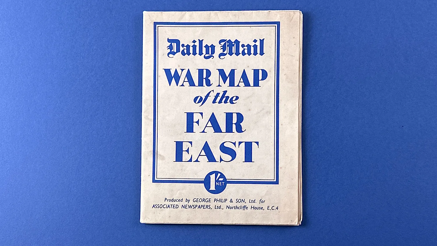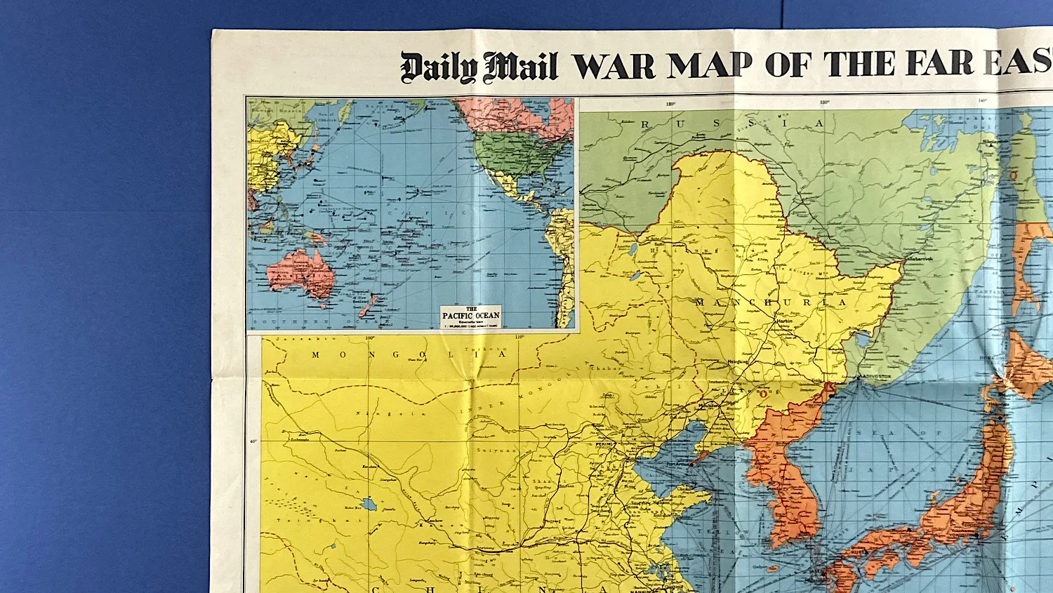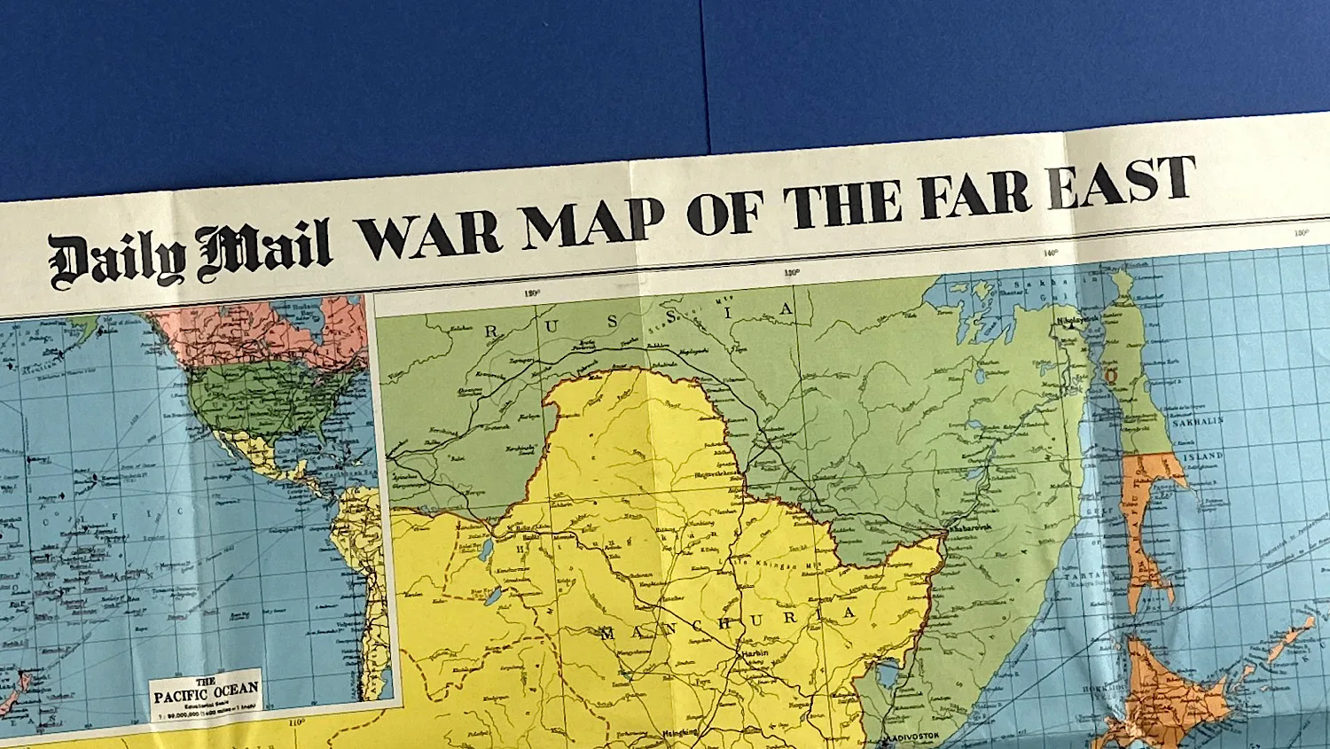
WW2 Daily Mail War Map of the Far East
SKU:
Added by : Andrew Robinson
Description
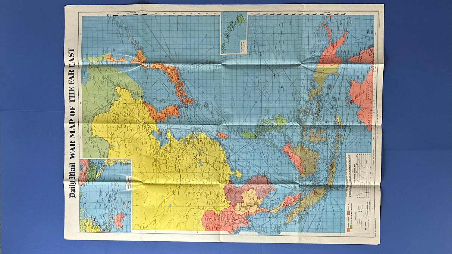
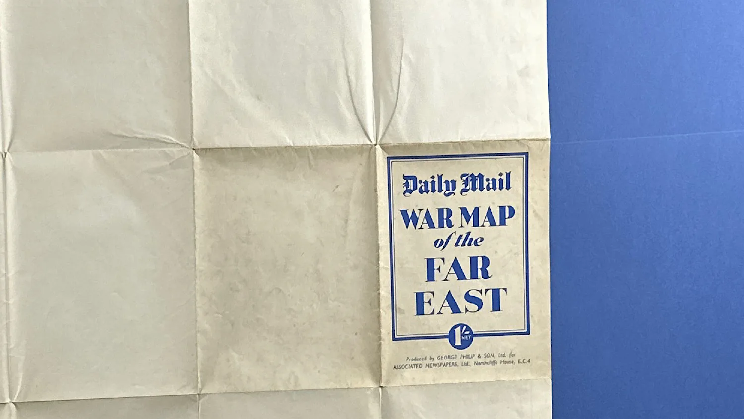
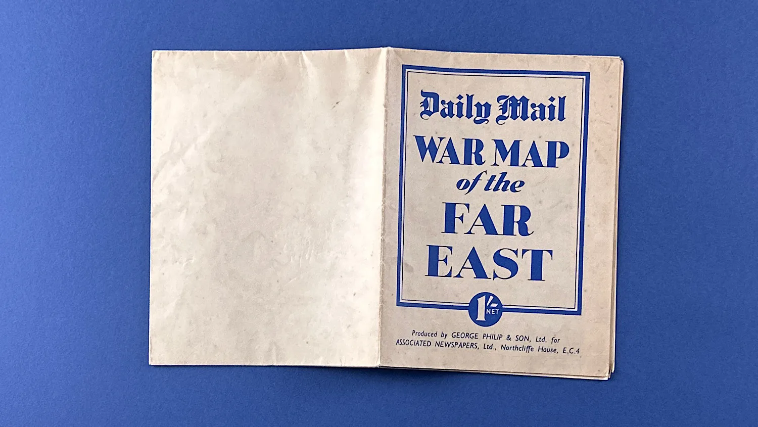
Issued by the Daily Mail during WW2, this War Map of the Far East was one of a series of maps designed to help readers track the progress of the conflict. Select editions included flags or stickers that could be placed on the map to mark battles and troop movements.
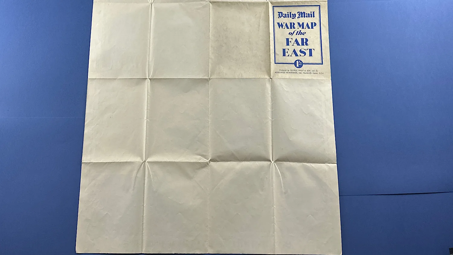
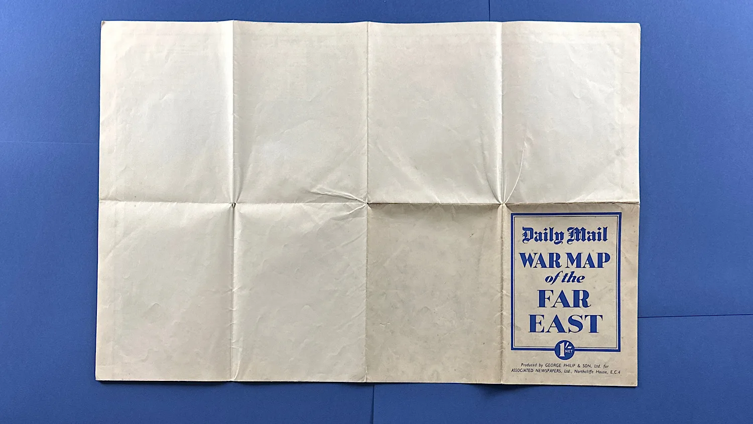
The Daily Mail are maps are slightly more scarce when compared to the Daily Express versions. They’re also formatted differently, at least this one is. Measuring 30 inches wide or around 76cm and 40 inches tall or just over a meter. The colours are stunning, with the yellow and blue really popping. Usually, if these maps have been pinned to a wall, the colours fade over the years but this is a clean indication that it’s been left, folded. Given the condition of the cover, vs the rest (see photos) you can see this is the case. The corners are in amazingly condition, and the only damage at all on the entire piece is a couple of very tiny holes where it’s been folded. Pretty much unavoidable given it’s age and material.
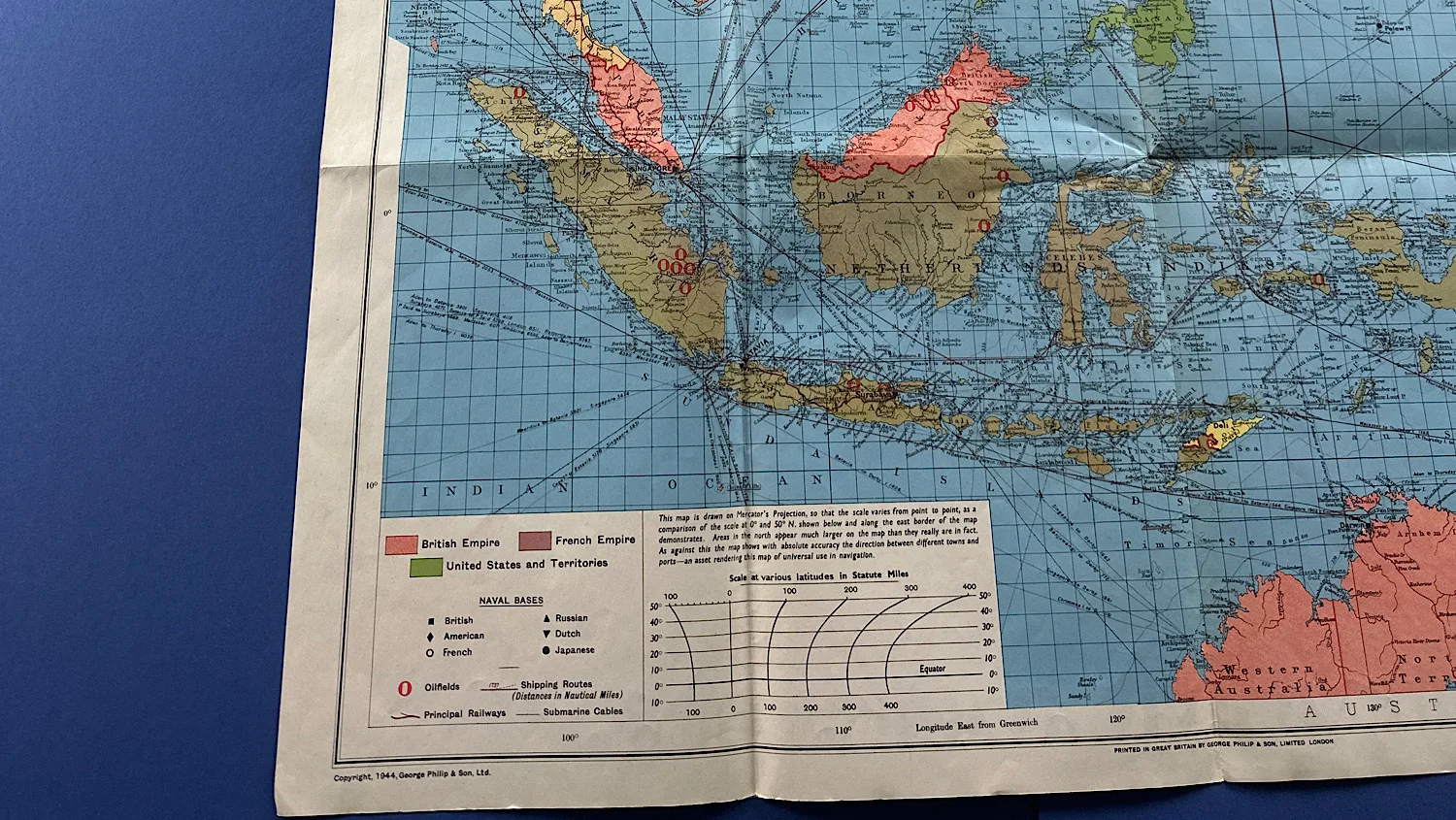
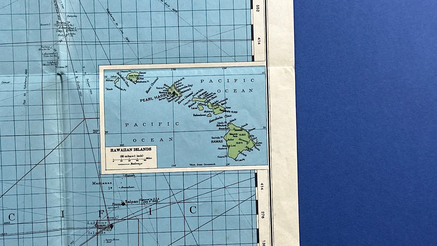
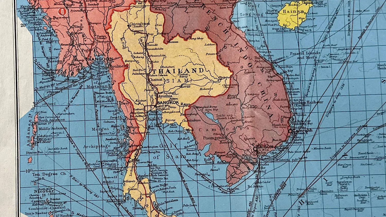
Being of the Far East, this map would be of particular interest for relatives of those who were prisoners of war and who worked on the Burma Railway or “Death Railway”.
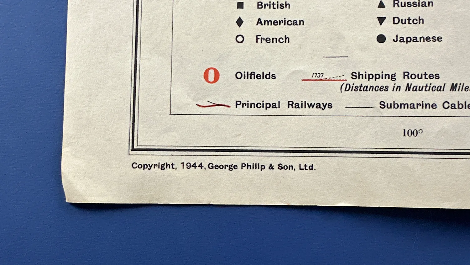
The bottom left is marked: “Copyright 1944, George Philip & Son Ltd” and on the bottom right; “The London Geographical Institute”.
£45.00