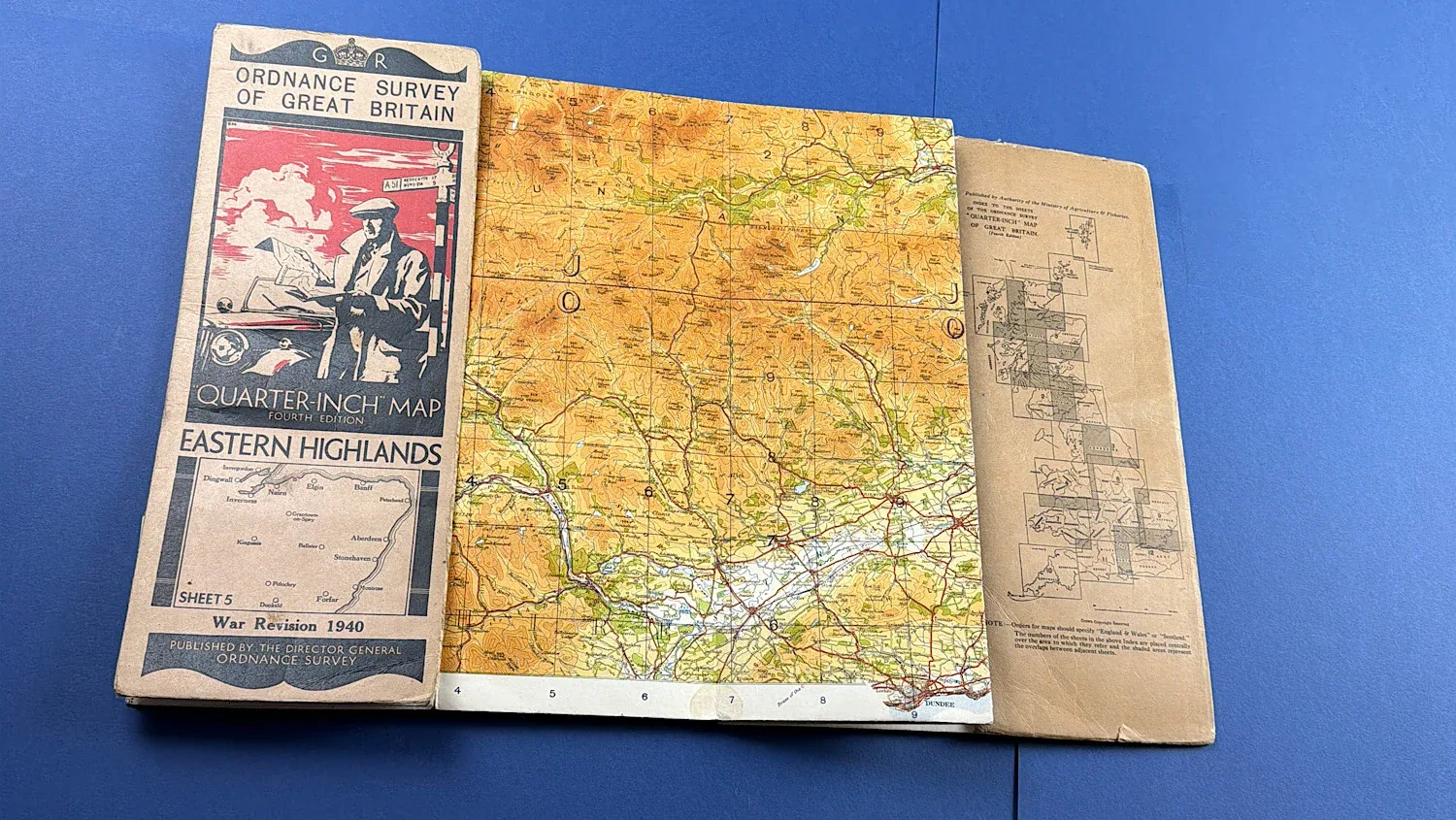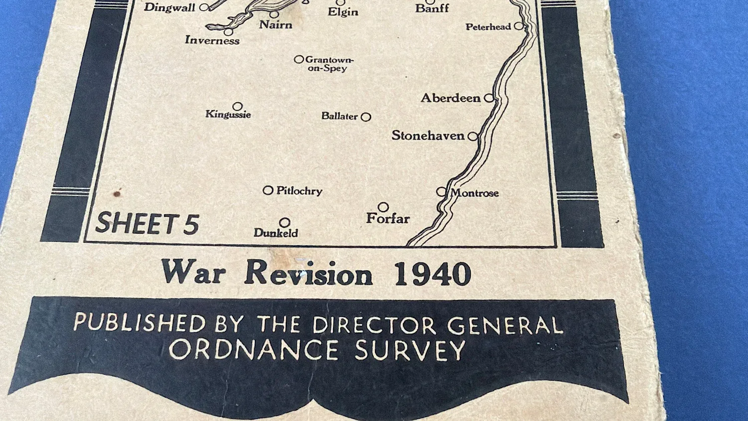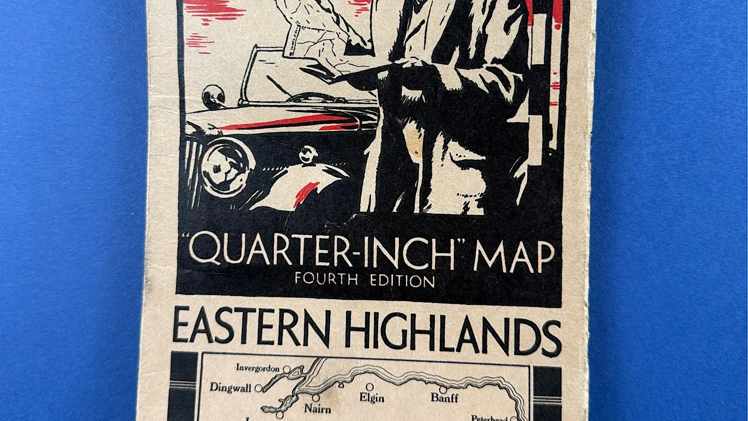
WW2 Home Front Ordnance Survey Quarter-Inch Map, Eastern Highlands – War Revision 1940
SKU:
Added by : Andrew Robinson
Description
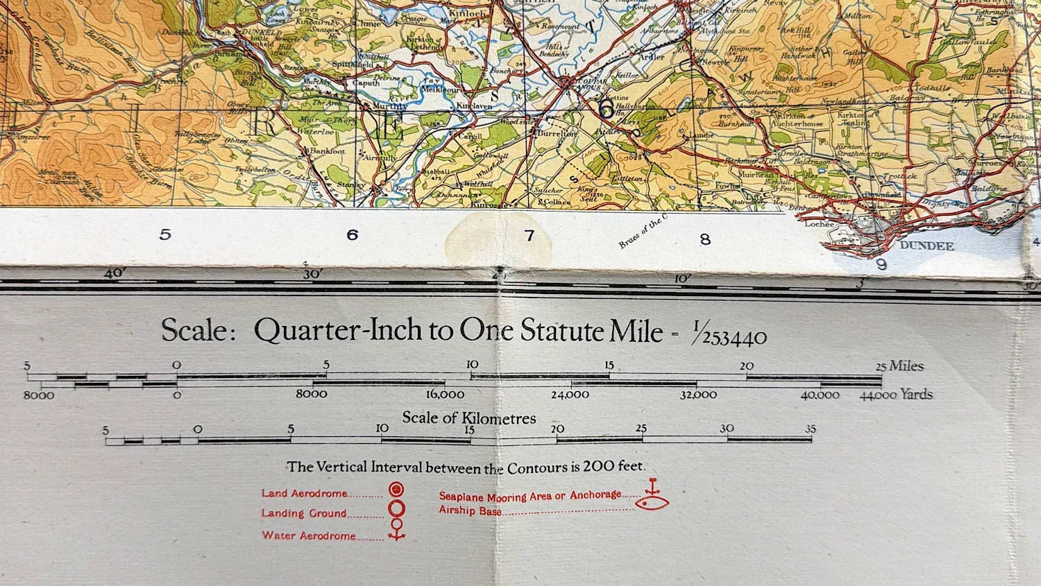
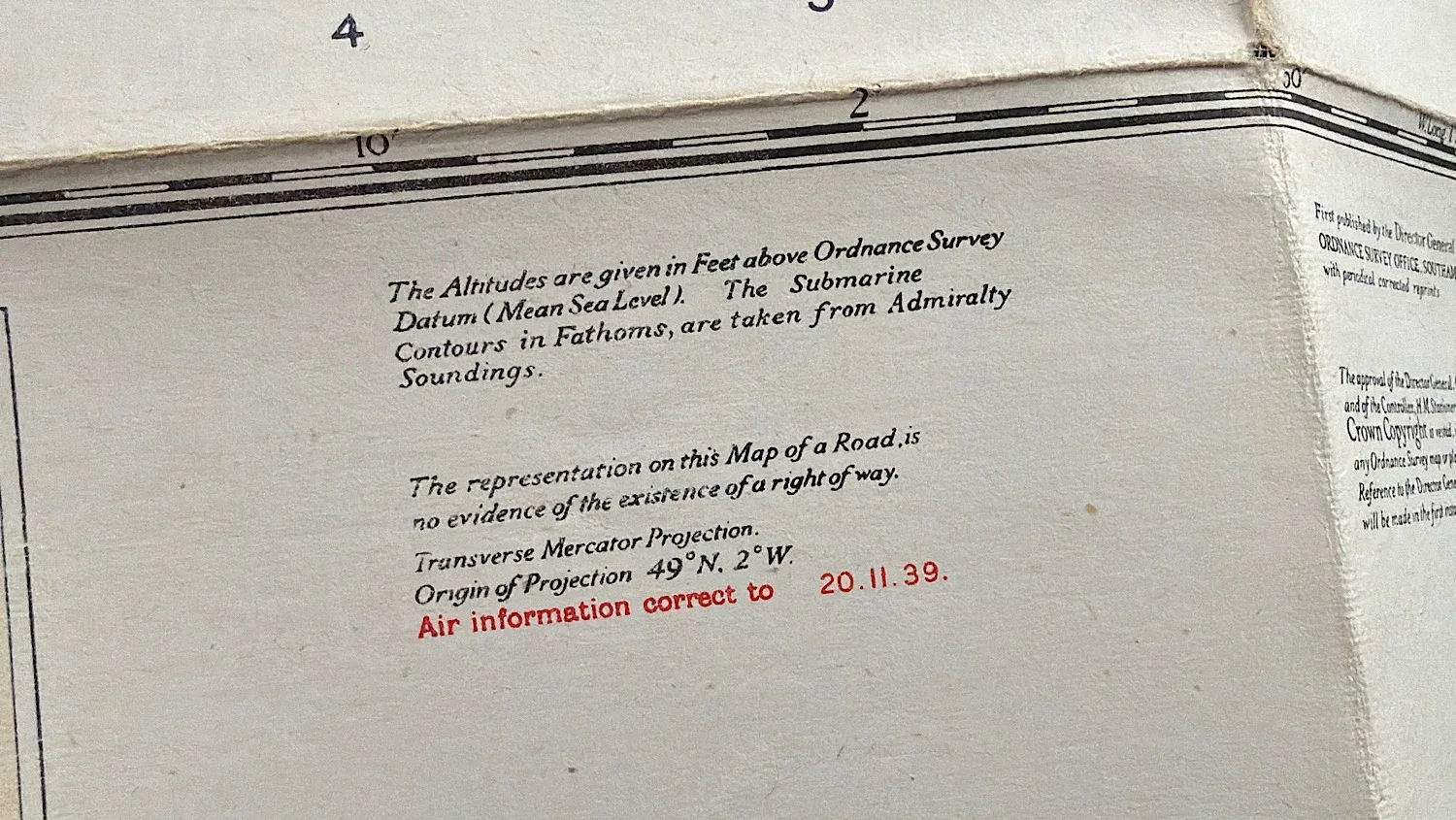
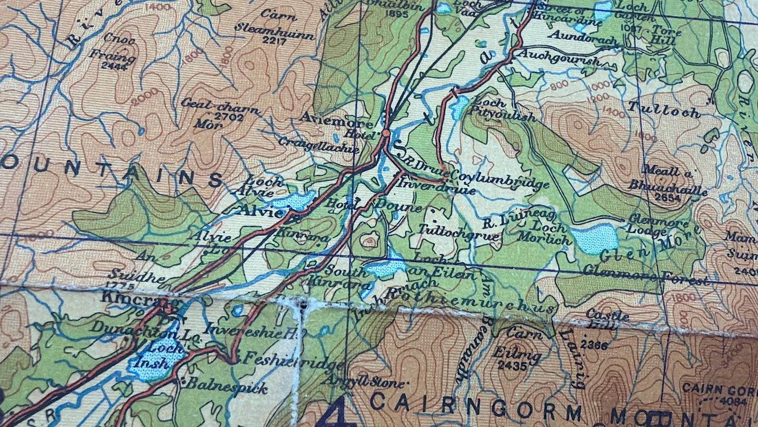
This original WW2 Ordnance Survey quarter-inch map covers the Eastern Highlands of Scotland and is a War Revision edition dated 1940. Produced during the early stages of the Second World War, maps of this type were widely used across Britain for Home Front planning, civil defence, and military orientation.
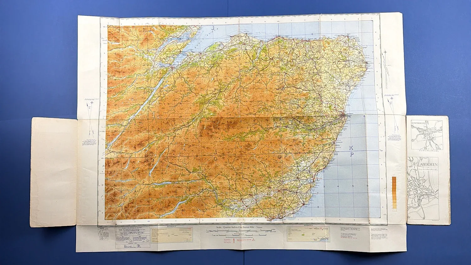
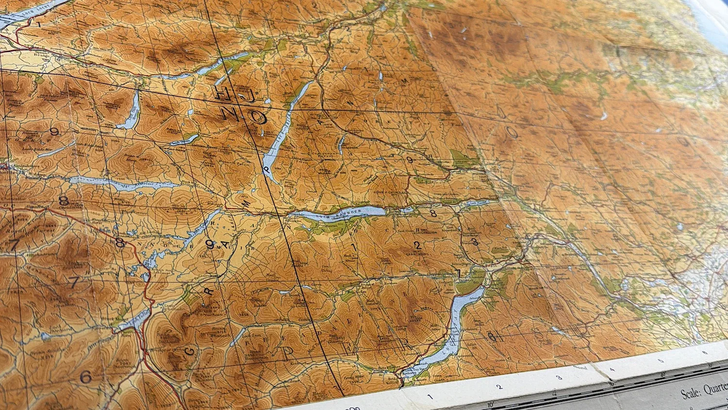
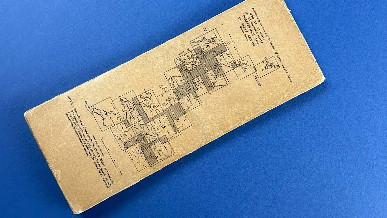
Quarter-inch Ordnance Survey maps provided a wide-area overview of key towns, transport routes, coastal areas, and inland terrain, making them particularly useful to Home Guard units, ARP services, and other Home Front organisations. Covering a strategically important Highland region, this map represents an authentic piece of British wartime mapping and Home Front ephemera.
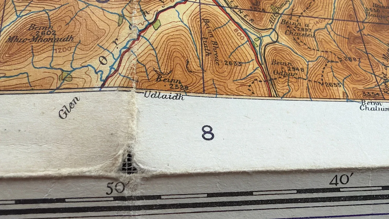
Condition wise, this is in good condition. The cover is nice and bright, very clear, and devoid of rips, tears, or stains. The map itself is also bright, with all text perfectly readable and clear. Where the map folds, there are some very small holes, typical of folded documents of this era (see photos).
It’s around 27×36 inches in size.
£18.00