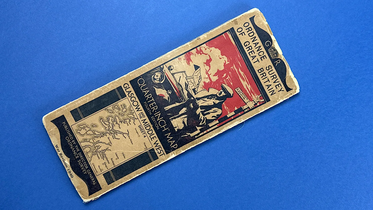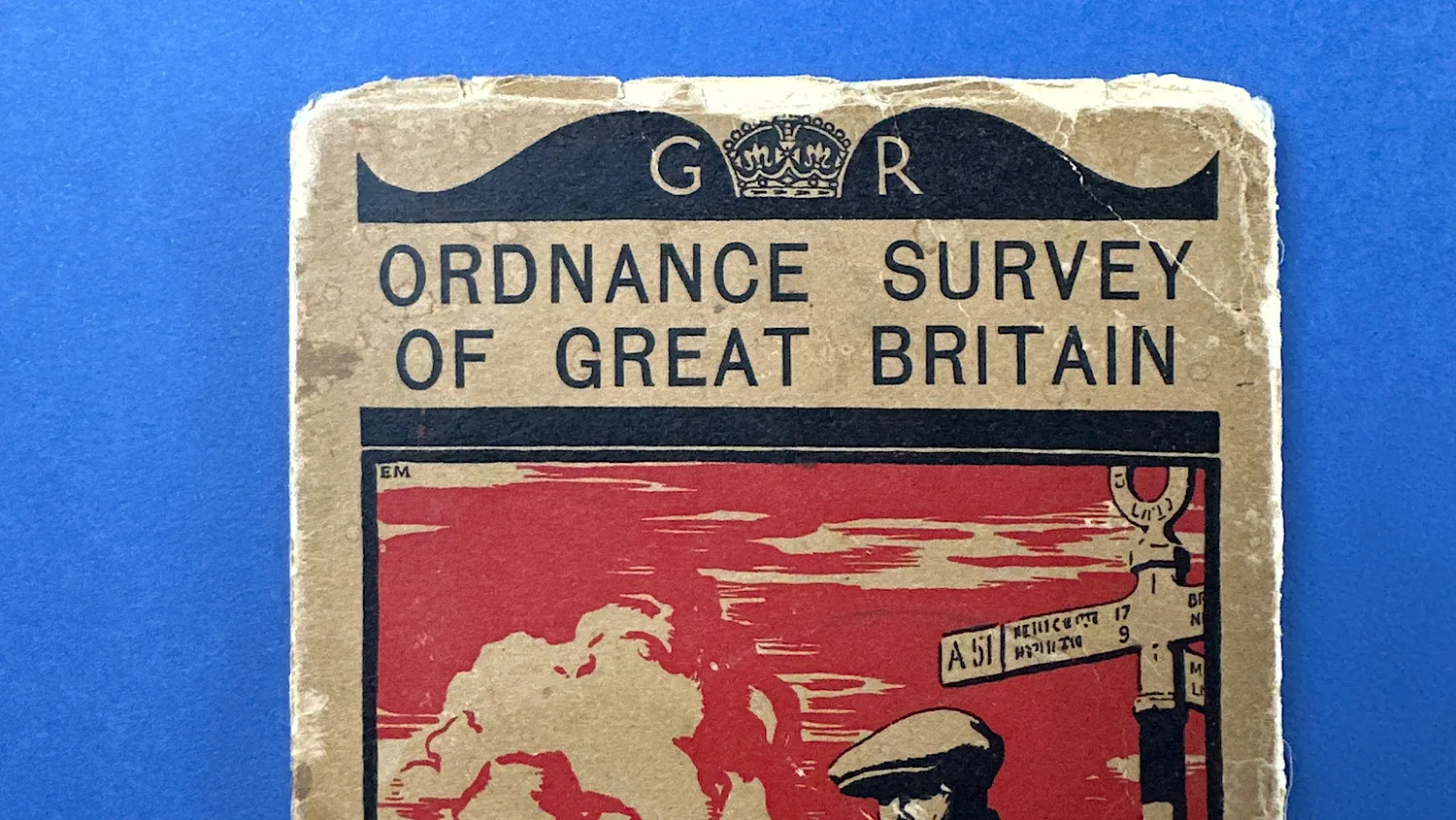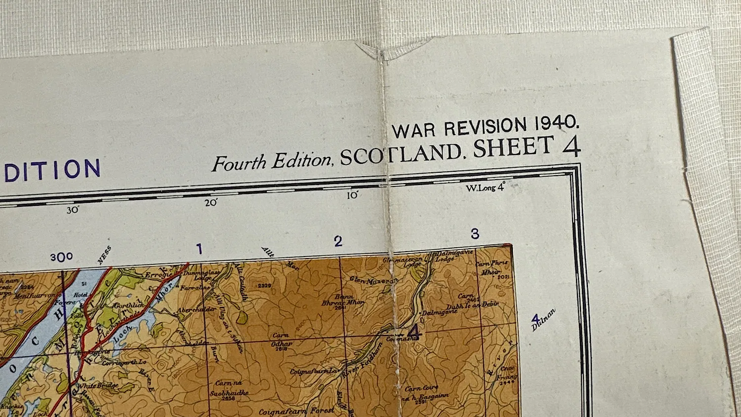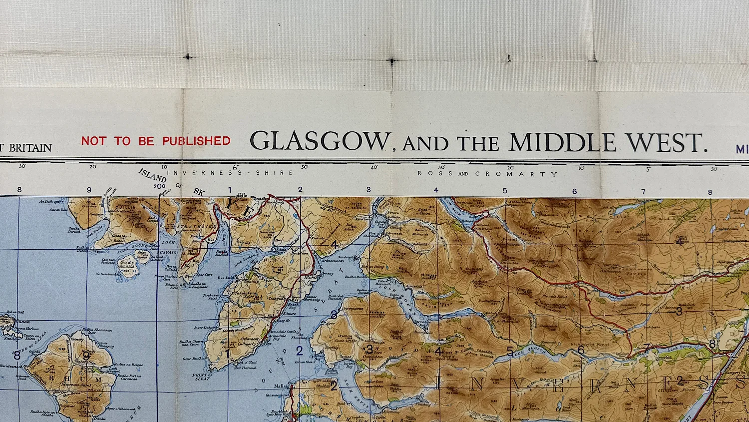
WW2 Home Front Ordnance Survey Quarter-Inch Map, Glasgow & Middle West – War Revision 1940
SKU:
Added by : Andrew Robinson
Description
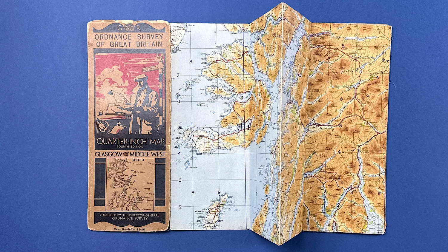
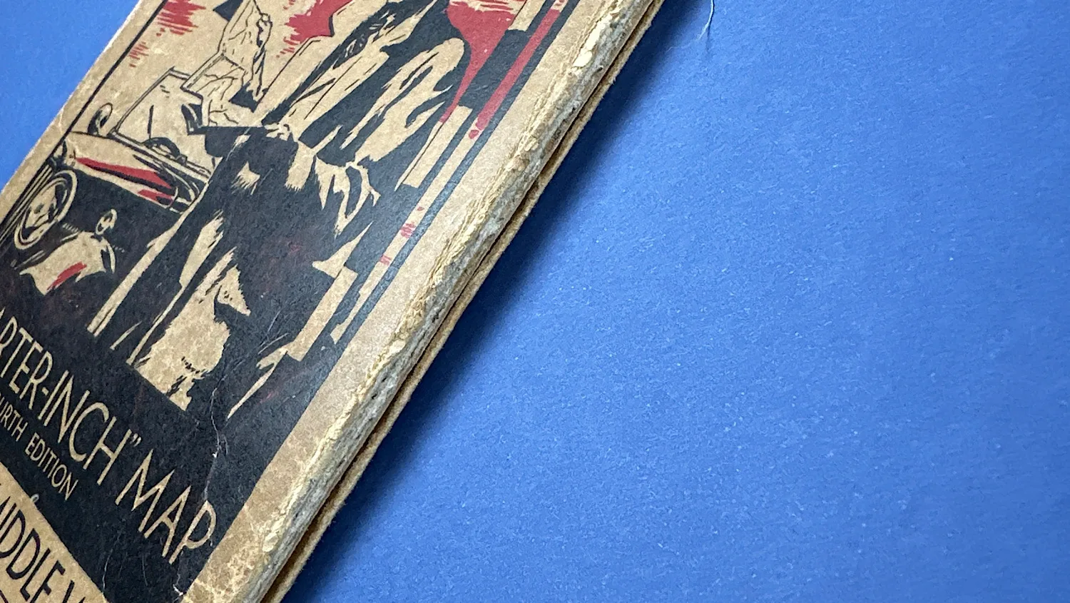
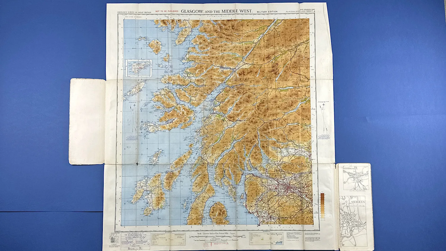
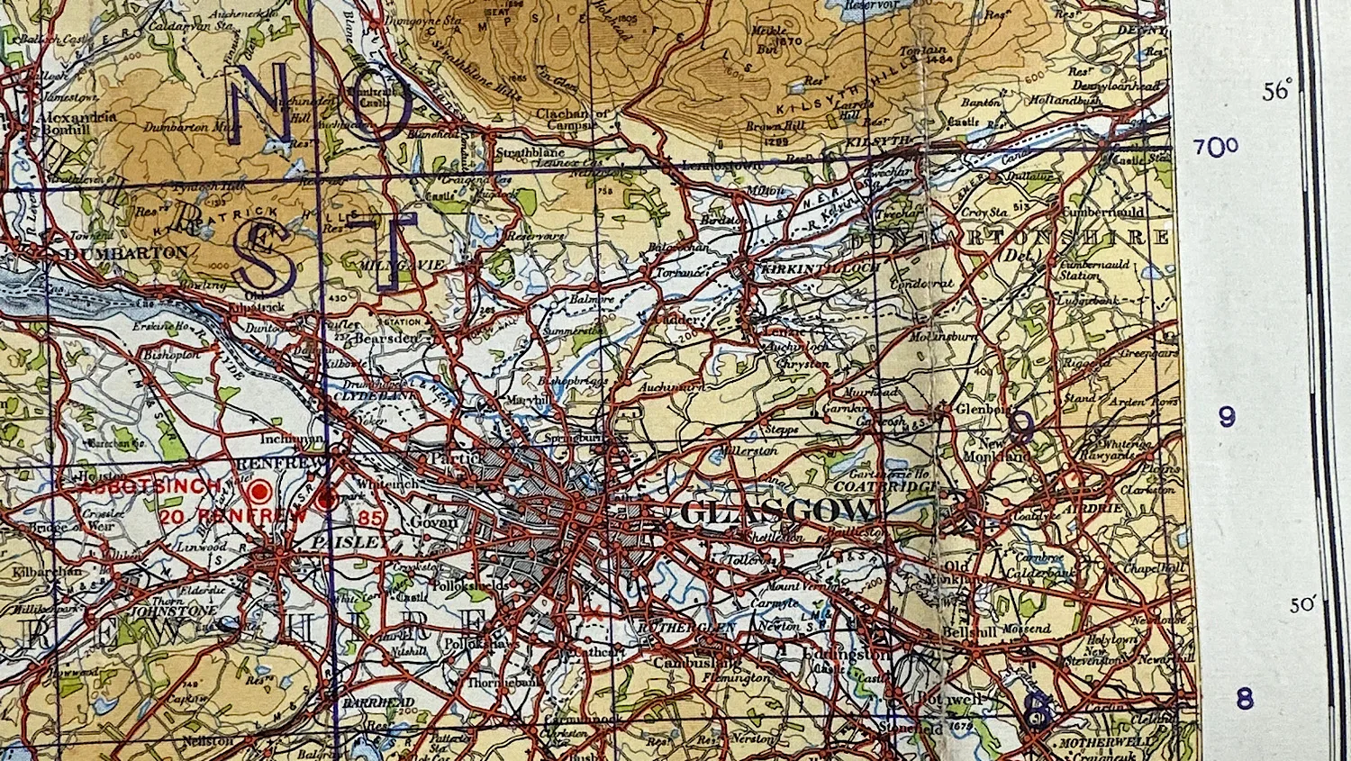
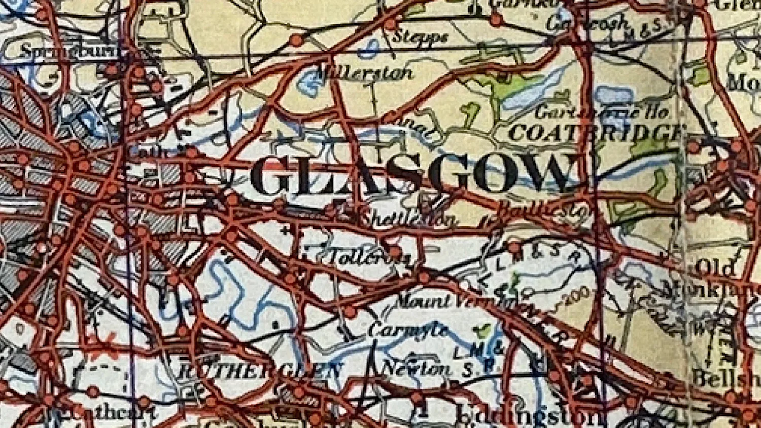
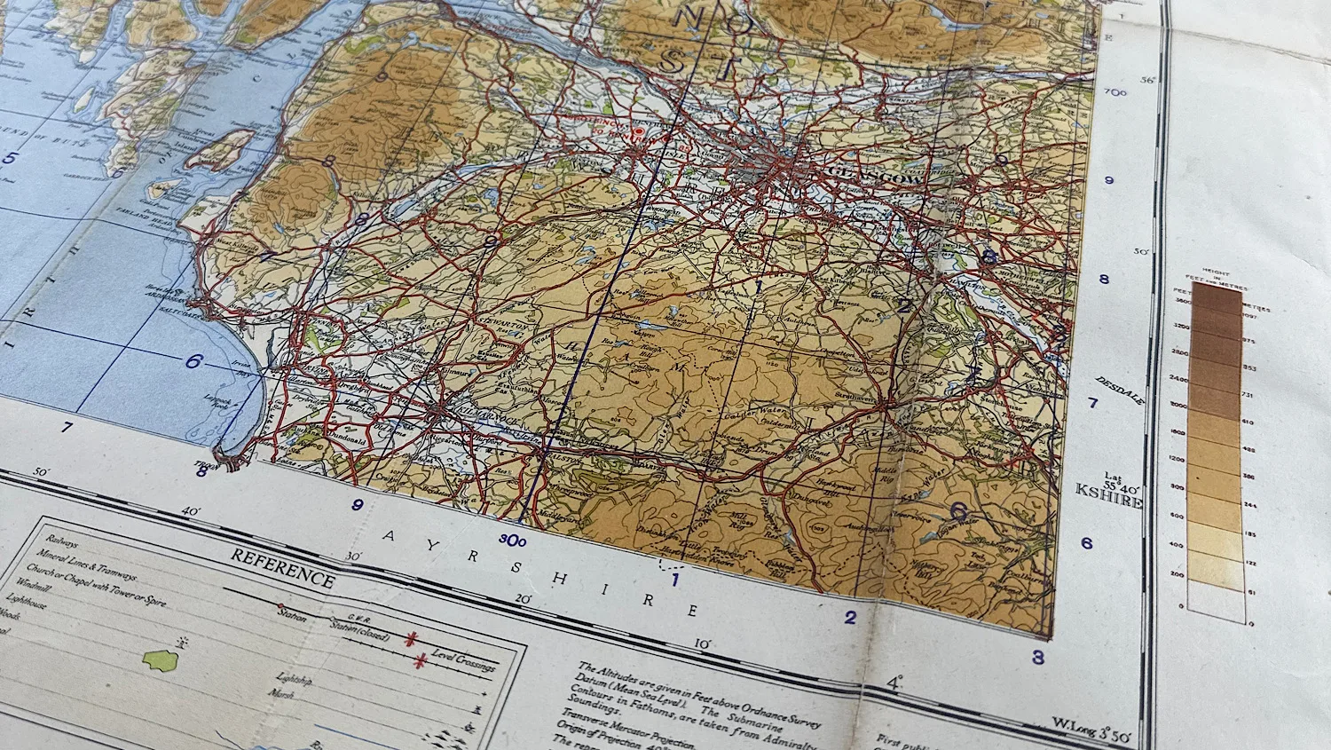
This original WW2 Ordnance Survey quarter-inch map covers Glasgow and the Middle West of Scotland and is a War Revision edition dated 1940. Produced during the early stages of the Second World War, maps of this type were widely used across Britain for Home Front planning, civil defence, and military orientation.
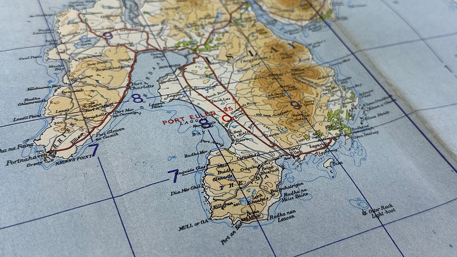
Quarter-inch Ordnance Survey maps provided a wide-area overview of key towns, transport routes, industrial centres, and coastal regions, making them particularly useful to Home Guard units, ARP services, and other Home Front organisations. Covering a strategically important industrial and shipbuilding area, this map represents an authentic piece of British wartime mapping and Home Front ephemera.
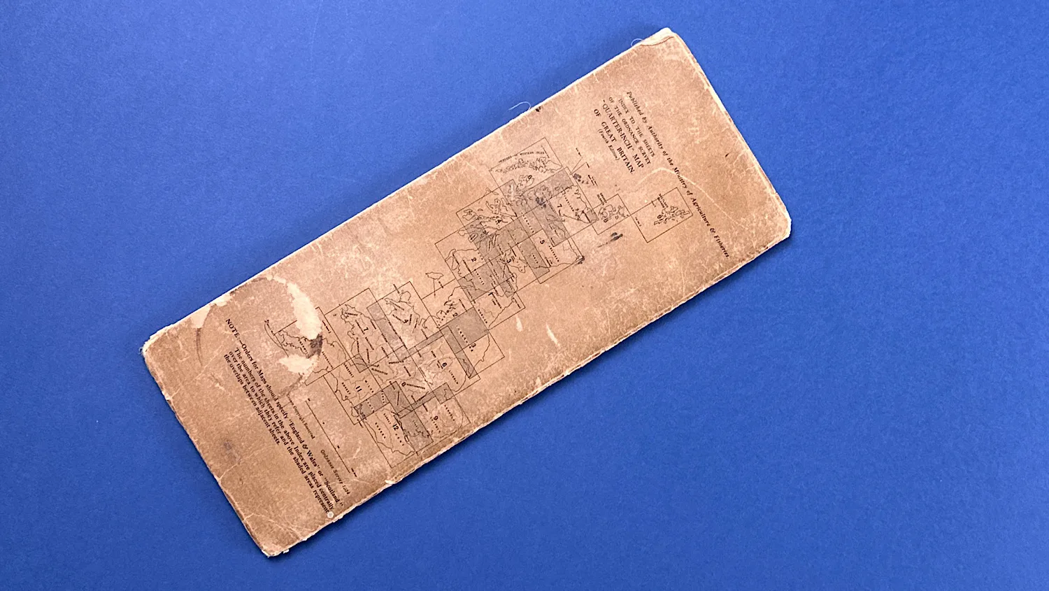
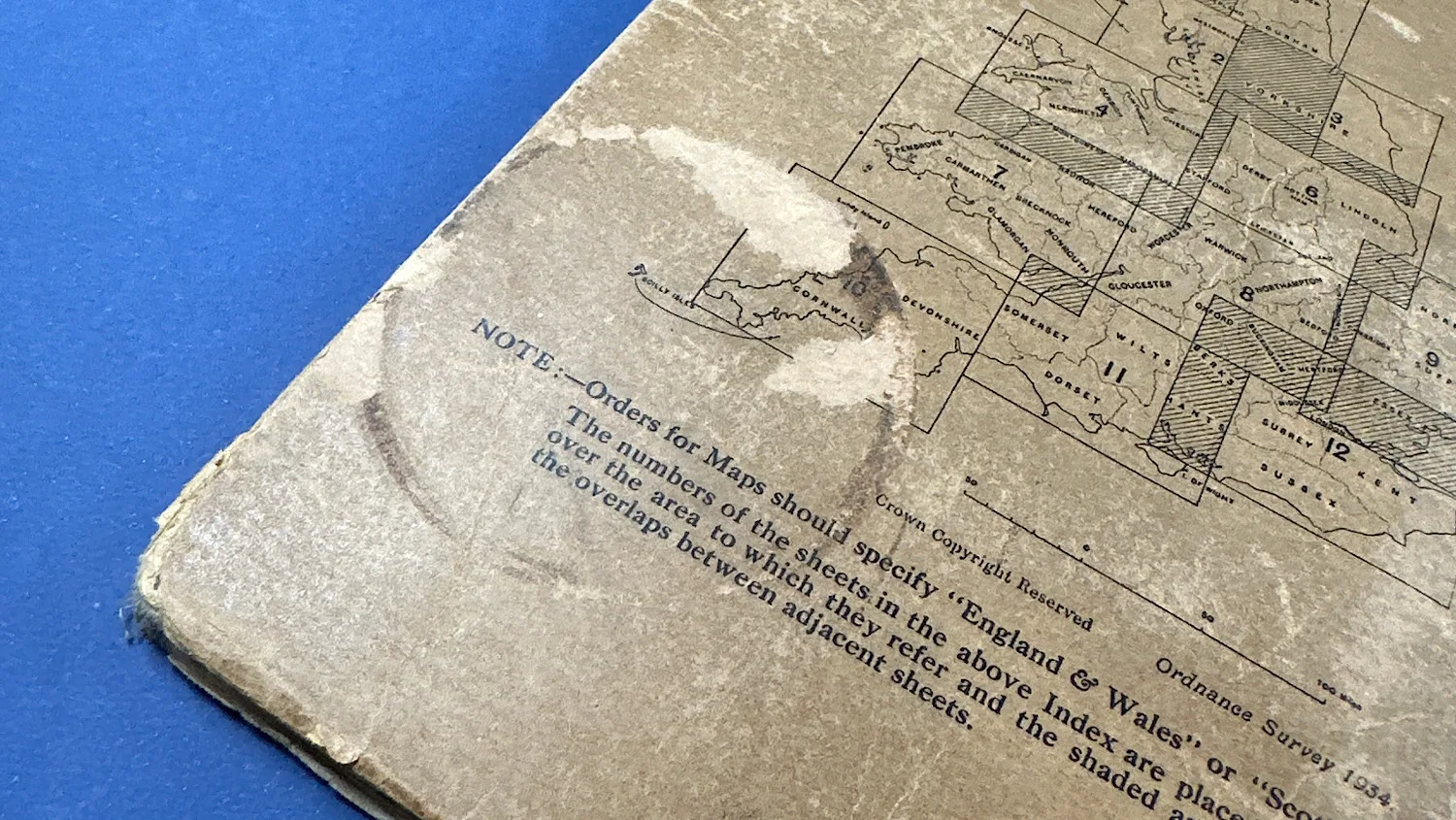
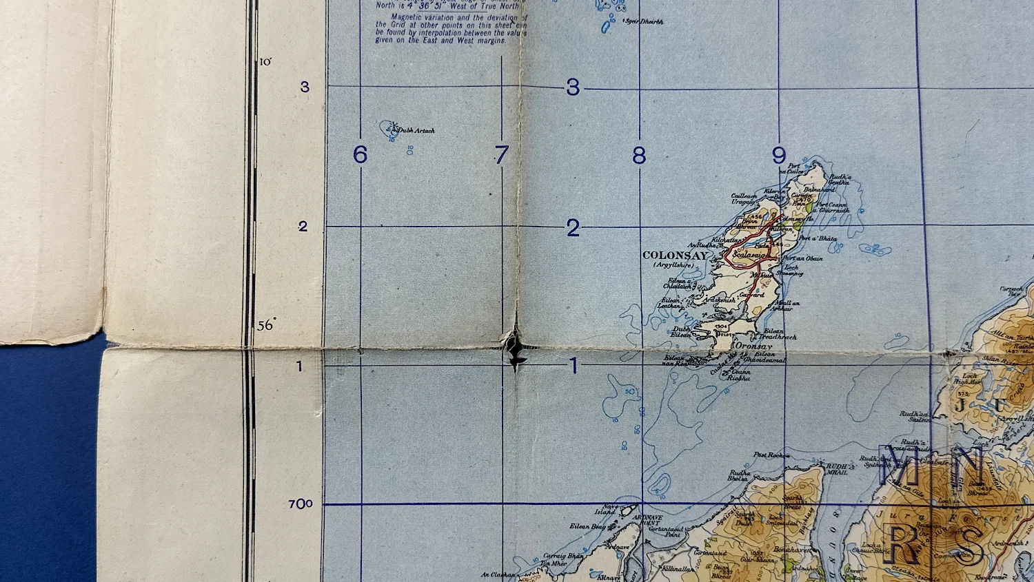
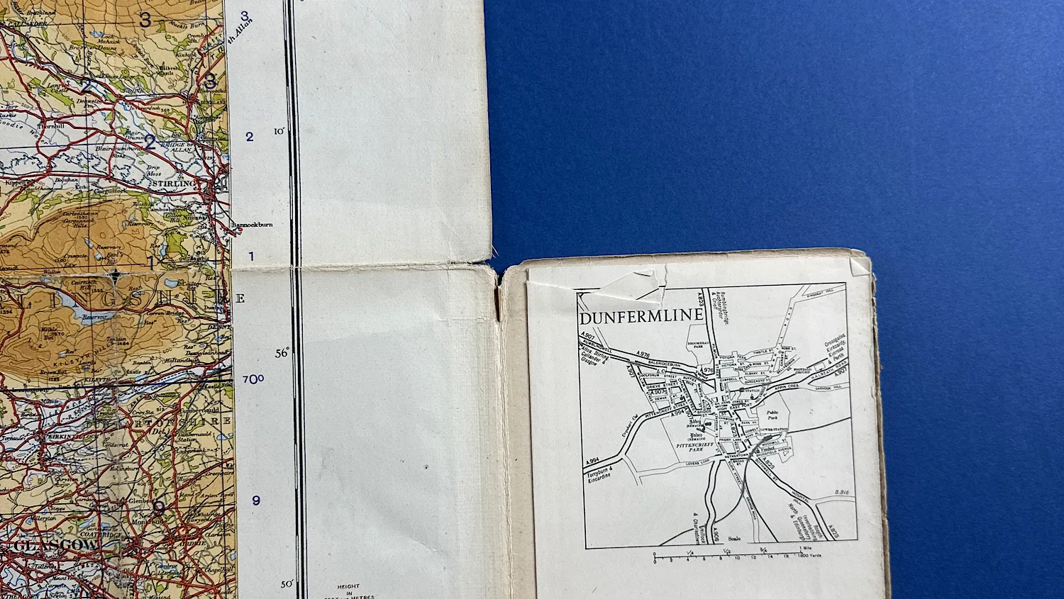
This map has certainly seen some wear which tells us it’s got a lived history. There’s a round mark on the back, the corners are worn and also, the corners of the map when it’s unfolded are worn and some even have small holes. We’ve photographed all wear, marks and points to note so please see them for a more accurate reference. It’s around 33×36 inches in size.
£18.00