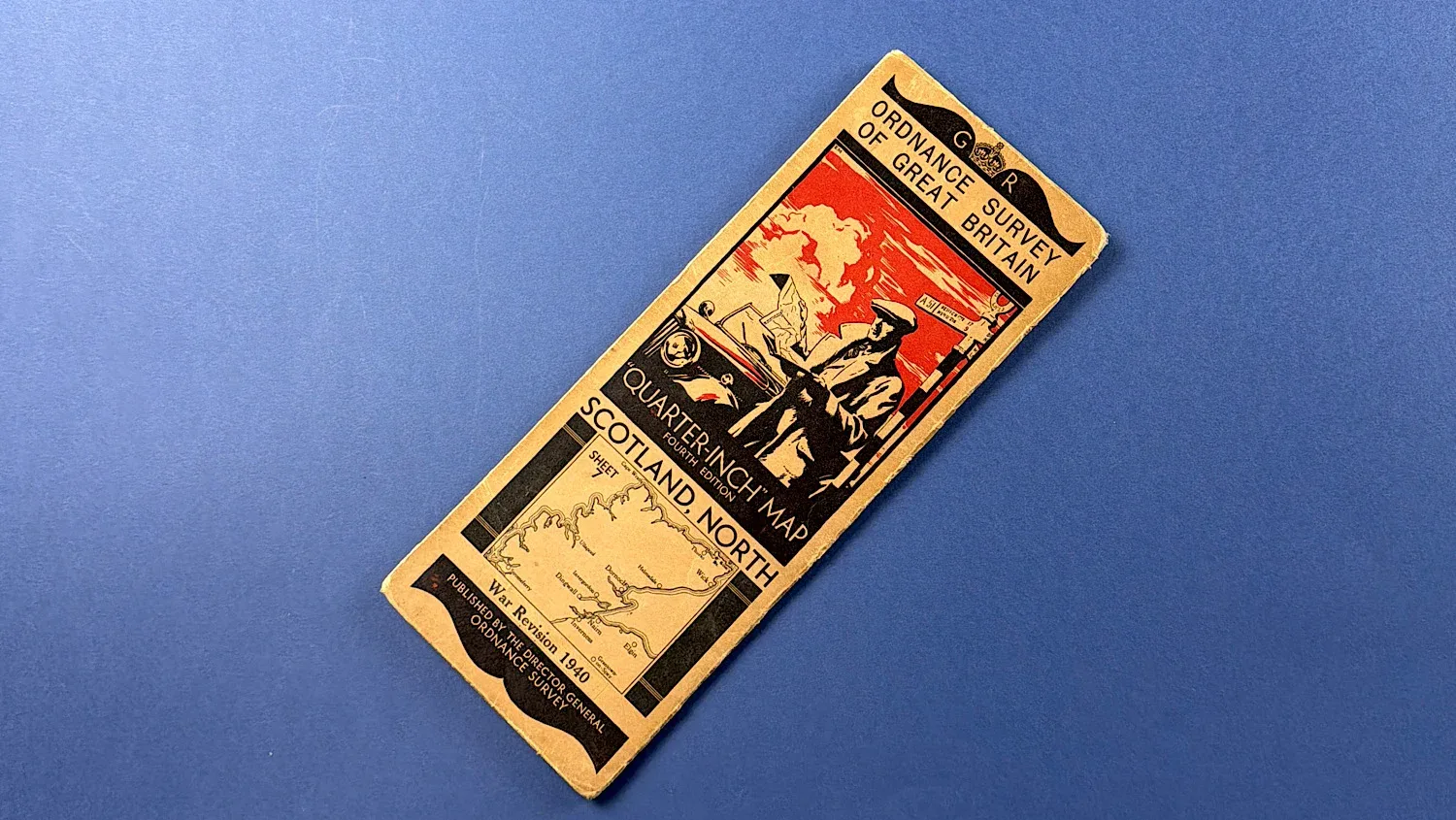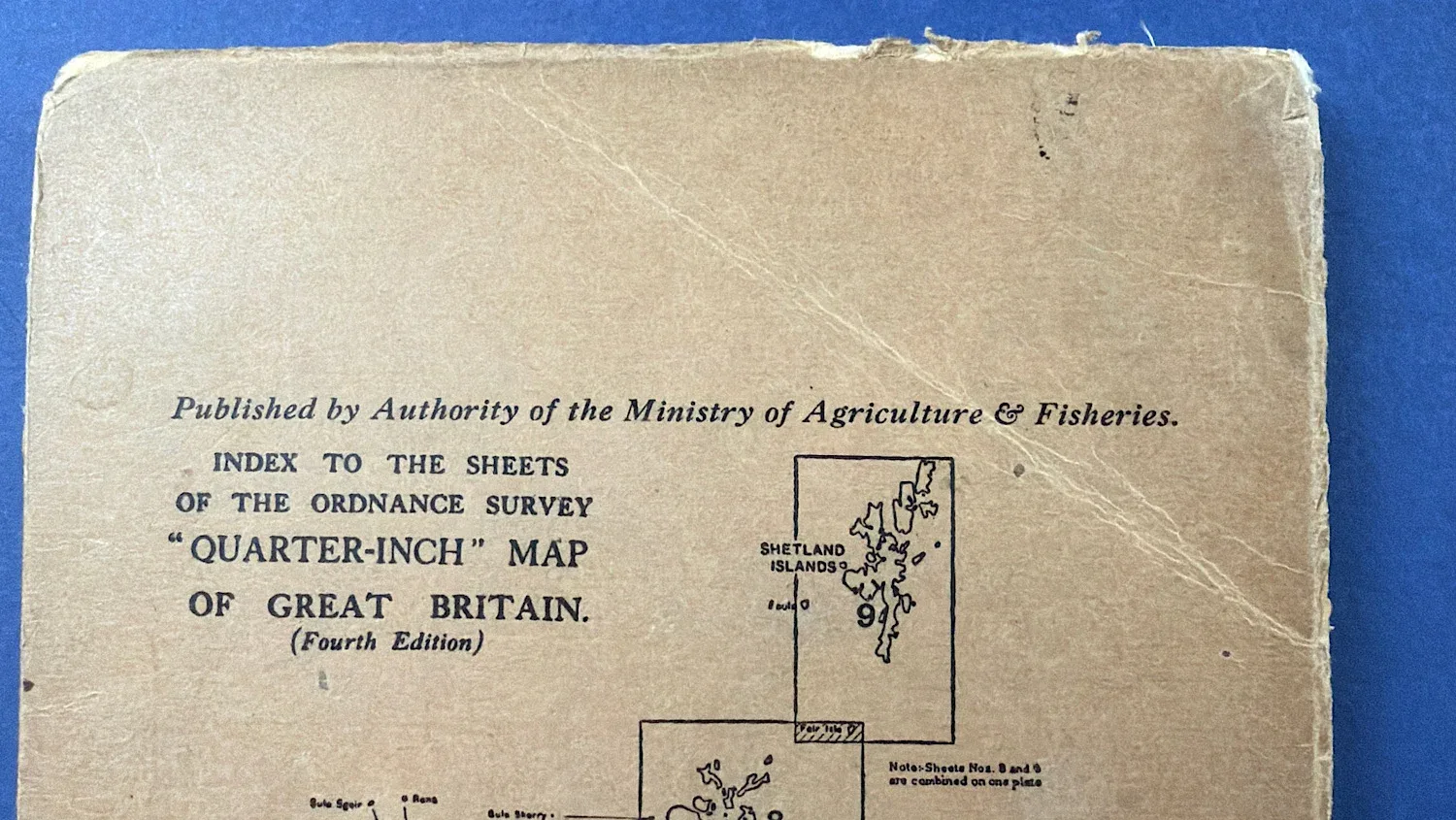
WW2 Home Front Ordnance Survey Quarter-Inch Map, Scotland, North – War Revision 1940
SKU:
Added by : Andrew Robinson
Description
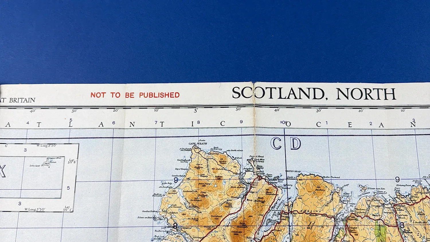
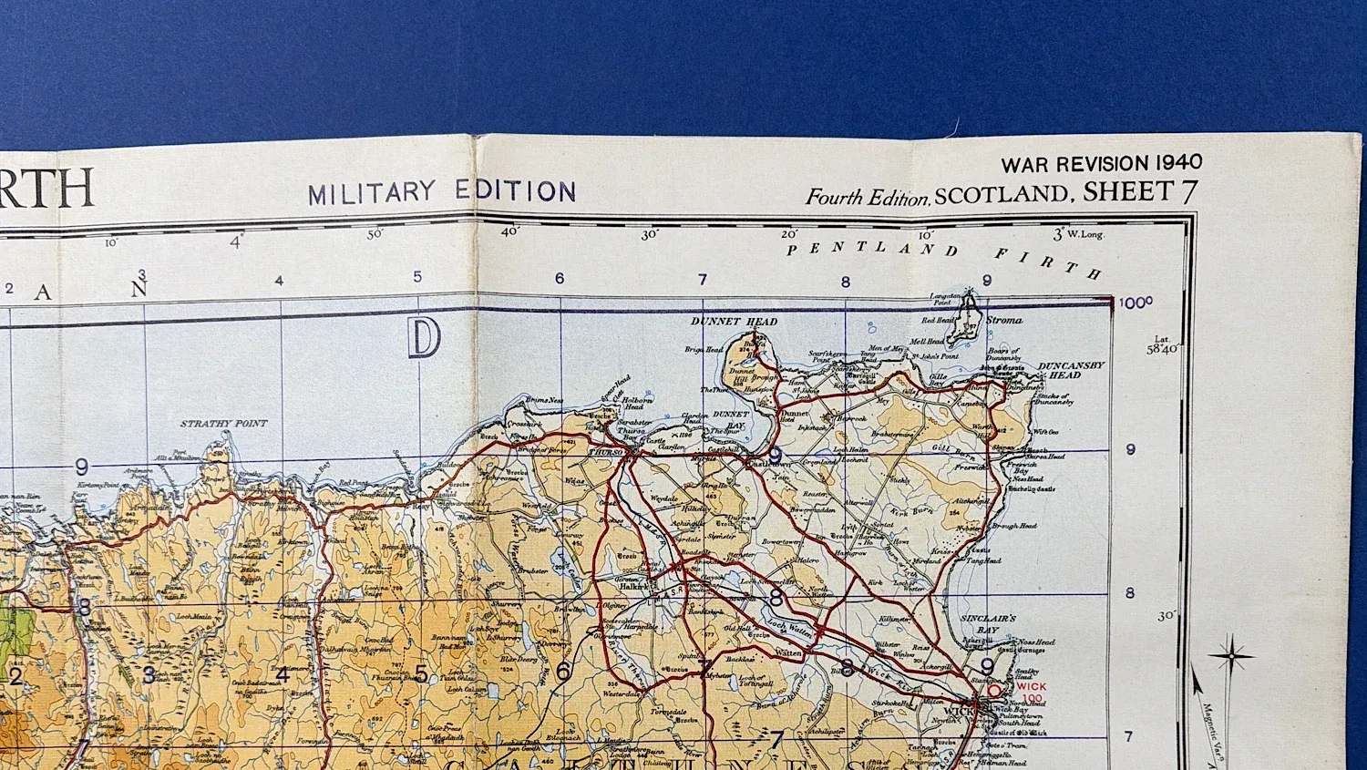
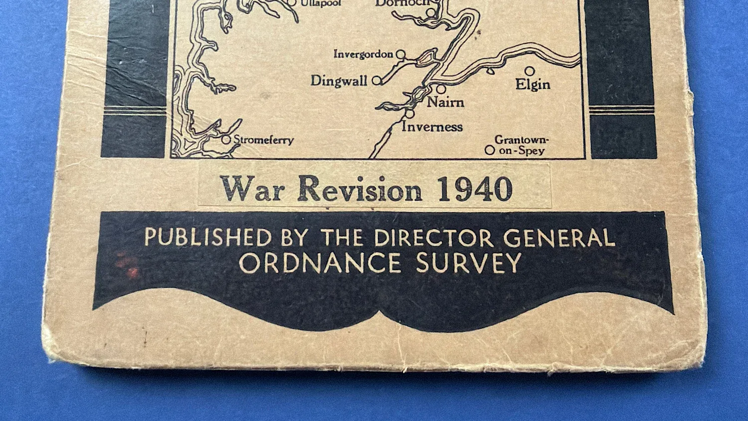
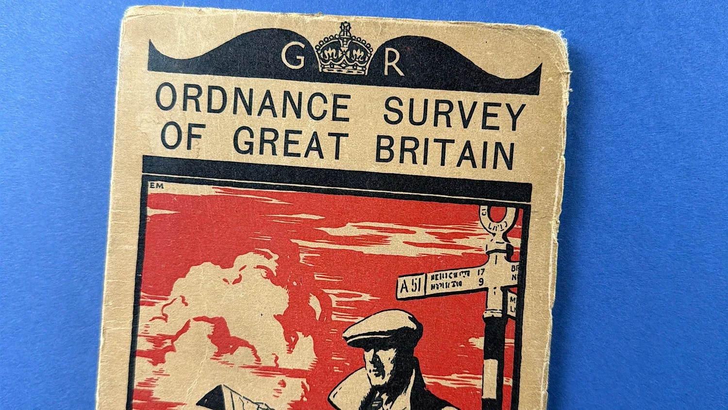
This original WW2 Ordnance Survey quarter-inch map covers Scotland, North and is a War Revision edition dated 1940. Produced during the early stages of the Second World War, maps of this type were widely issued for use across Britain in Home Front planning, civil defence, and general wartime navigation.
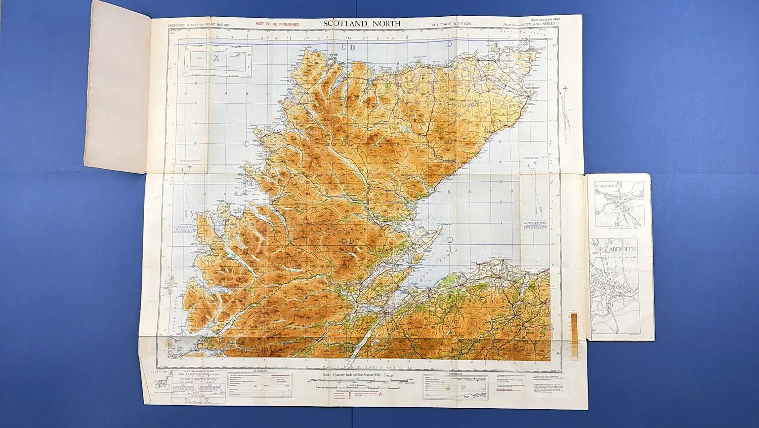
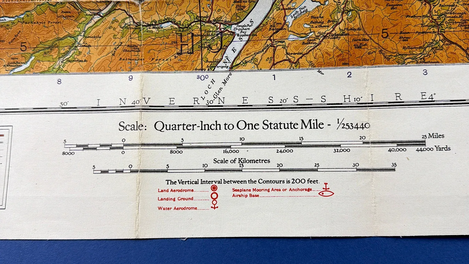
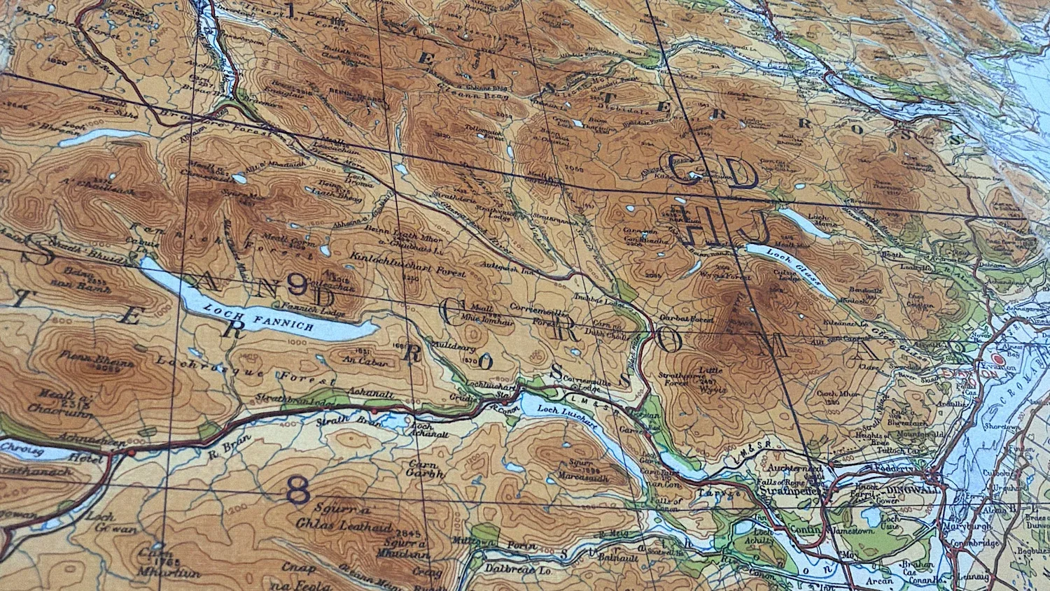
Quarter-inch Ordnance Survey maps were designed to provide a wide-area overview of terrain, transport routes, coastal features, and key settlements, making them particularly useful to Home Guard units, Civil Defence organisations, and other Home Front services. Covering the northern Highlands and coastal regions of Scotland, this example represents an authentic piece of British WW2 Home Front mapping and wartime ephemera, retaining the distinctive illustrated cover artwork associated with the period.
The condition of this map is rather good, there are some tiny holes where the map folds up but, smaller than others we have seen. The cover is in good condition with no serious damage or marks (see photos). The colours on this map are nice and bright and all the text is perfectly readable.
When fully unfolded this map measures around 30 x 33 inches.
£18.00