WW2 Home Front Ordnance Survey Quarter-Inch Map, The Forth, Clyde and Tay – War Office Edition
SKU:
Added by : Andrew Robinson
Description
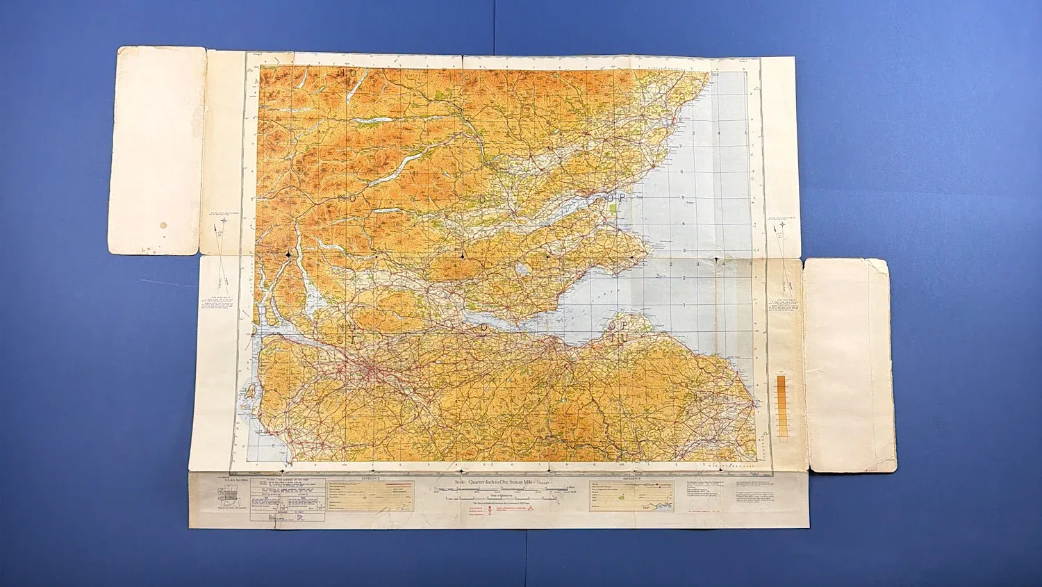
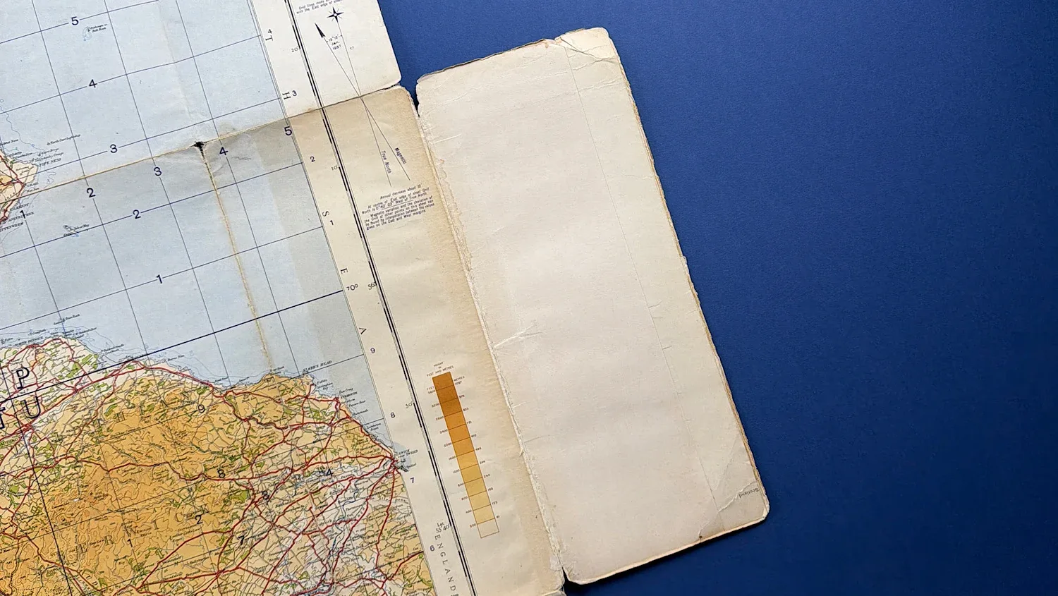
This is an original WW2 Ordnance Survey Quarter-Inch Map covering The Forth, Clyde and Tay, issued as a War Office Edition and published as part of the Fourth Edition series. Quarter-inch maps were produced at a scale of one inch to four miles and were widely used during the war for navigation, planning, and operational reference.
War Office Edition maps were produced specifically for official wartime use, reflecting the urgent need for accurate mapping during the early years of WW2. The Forth, Clyde and Tay region was of major strategic importance, encompassing key industrial centres, ports, naval facilities, and transport routes central to Britain’s Home Front infrastructure.
The map retains its original illustrated cover and though some or the corners have rounded. As you can see from the photos, there are some holes where the map has been folded and the cover has some light staining too. However, the map itself is displayed nice and clearly and while it’s seen use the cover remains intact.
When fully unfolded, this map measures 28 x 34 inches.
£18.00